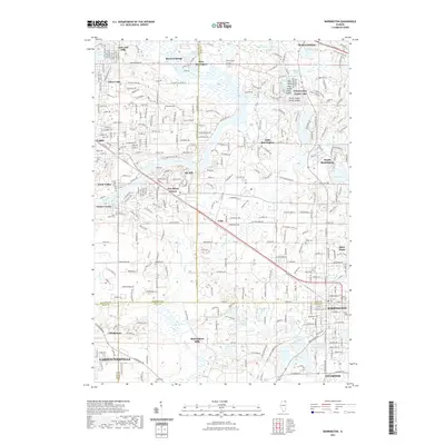
2021 Map of Barrington
USGS Topo · Published 2021About this map
The Fox River carves a distinctive path through this suburban and marshland landscape, connecting a network of residential communities and glacial lakes at the meeting point of four counties. Established settlements such as Barrington, Cary, and Carpentersville anchor the region, while smaller villages like Fox River Grove and Port Barrington line the riverbanks. The geography is defined by its numerous water bodies, including the substantial Tower Lake complex with its uniquely named Devils Snake Island Island and Duck Island.
Find a feature on this map
93 named features on this map. Tap any name to fly to it.
Don’t see what you’re looking for? This feature index may not catch every label — zoom into the map to look around manually.
Map Details
Editions of this 2021 Barrington Map
This is the sole edition of this map. No revisions or reprints were ever made.
Other maps of this area

1920 · Grays Lake
USGS Topo · 1:62,500

1923 · Grays Lake
USGS Topo · 1:62,500

1923 · Barrington
USGS Topo · 1:62,500

1925 · Elgin
USGS Topo · 1:62,500

1926 · Mc Henry
USGS Topo · 1:62,500

1935 · Barrington
USGS Topo · 1:62,500

1940 · Elgin
USGS Topo · 1:62,500

1944 · McHenry
USGS Topo · 1:62,500
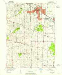
1953 · Palatine
USGS Topo · 1:24,000

1954 · Rockford
USGS Topo · 1:250,000