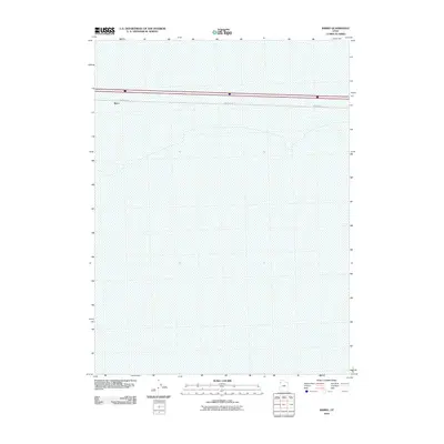
2010 Map of Barro
USGS Topo · Published 2010About this map
Barro sits along the northern edge of this Tooele County expanse, a location defined by the vast, low-elevation salt flats of western Utah. Surveyed in 2010, the landscape is almost entirely featureless, dominated by the ancient lakebed of the Great Salt Lake Desert. Human presence is concentrated entirely along a thin corridor where Frontage Rd mirrors the path of the interstate. This map offers a clear look at the minimal infrastructure of this isolated high-desert region, where the vastness of the flats remains largely uninterrupted by development or industrial activity.
Find a feature on this map
2 named features on this map. Tap any name to fly to it.
Don’t see what you’re looking for? This feature index may not catch every label — zoom into the map to look around manually.
Map Details
Editions of this 2010 Barro Map
This is the sole edition of this map. No revisions or reprints were ever made.
Other maps of this area

1953 · Tooele
USGS Topo · 1:250,000

1955 · Tooele
USGS Topo · 1:250,000

1973 · Knolls SW
USGS Topo · 1:24,000

1973 · Arinosa SE
USGS Topo · 1:24,000

1973 · Arinosa NE
USGS Topo · 1:24,000

1973 · Floating Island SE
USGS Topo · 1:24,000

1973 · Knolls
USGS Topo · 1:24,000

1973 · Barro
USGS Topo · 1:24,000

1973 · Knolls SE
USGS Topo · 1:24,000

1973 · Knolls 2 SW
USGS Topo · 1:24,000