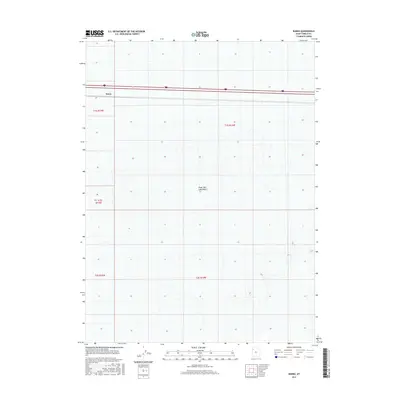
2017 Map of Barro
USGS Topo · Published 2017About this map
Great Salt Lake Desert dominates this landscape in western Tooele County, illustrating the stark topography of the Great Basin. The small settlement of Barro is positioned along the northern corridor where transport infrastructure cuts through the salt flats. This specific stretch is defined by the straight trajectory of Interstate 80, a critical east-west artery that follows the historic path of transit across the arid basin. The map primarily documents the vast, low-lying alkaline plains and the systematic township and range boundaries, including t1s r15w and t1s r14w, which impose a grid over the otherwise featureless terrain. Researchers of Utah's transport history will find interest in the isolation of the Barro site relative to the expansive desert environment.
Find a feature on this map
8 named features on this map. Tap any name to fly to it.
Don’t see what you’re looking for? This feature index may not catch every label — zoom into the map to look around manually.
Map Details
Editions of this 2017 Barro Map
This is the sole edition of this map. No revisions or reprints were ever made.
Other maps of this area

1953 · Tooele
USGS Topo · 1:250,000

1955 · Tooele
USGS Topo · 1:250,000

1973 · Knolls SW
USGS Topo · 1:24,000

1973 · Arinosa SE
USGS Topo · 1:24,000

1973 · Arinosa NE
USGS Topo · 1:24,000

1973 · Floating Island SE
USGS Topo · 1:24,000

1973 · Knolls
USGS Topo · 1:24,000

1973 · Barro
USGS Topo · 1:24,000

1973 · Knolls SE
USGS Topo · 1:24,000

1973 · Knolls 2 SW
USGS Topo · 1:24,000