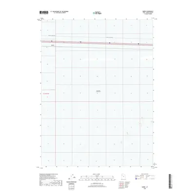
2020 Map of Barro
USGS Topo · Published 2020About this map
The Great Salt Lake Desert dominates this 2020 terrain survey, capturing a stark and sparsely settled expanse of the West Desert in Tooele County, Utah. The tiny settlement of Barro sits along the northern edge of the map, situated directly beside the primary east-west transportation corridor that cuts through the salt flats. This location, historically significant as a station point for regional rail and road travel, remains one of the few named landmarks in an otherwise open landscape. Running across the northern reaches of the quadrangle, Floating Island Dike Rd provides a rare point of access into the interior of the desert basin. The map illustrates the minimal topographic relief characteristic of the region, where the vast salt-encrusted floor of the desert stretches across several townships, including t1.5s r15w.
Find a feature on this map
4 named features on this map. Tap any name to fly to it.
Don’t see what you’re looking for? This feature index may not catch every label — zoom into the map to look around manually.
Map Details
Editions of this 2020 Barro Map
This is the sole edition of this map. No revisions or reprints were ever made.
Other maps of this area

1953 · Tooele
USGS Topo · 1:250,000

1955 · Tooele
USGS Topo · 1:250,000

1973 · Knolls SW
USGS Topo · 1:24,000

1973 · Arinosa SE
USGS Topo · 1:24,000

1973 · Arinosa NE
USGS Topo · 1:24,000

1973 · Floating Island SE
USGS Topo · 1:24,000

1973 · Knolls
USGS Topo · 1:24,000

1973 · Barro
USGS Topo · 1:24,000

1973 · Knolls SE
USGS Topo · 1:24,000

1973 · Knolls 2 SW
USGS Topo · 1:24,000