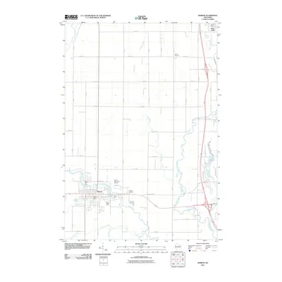
2010 Map of Barron
USGS Topo · Published 2010About this map
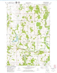
Barron serves as the central hub of this 2010 survey, situated at the confluence of the Yellow River and Quaderer Creek. The landscape is defined by its water management and agricultural grid, with the Barron City Dam and Taylor Dam regulating the local flow. Near the city center, the Barron Post Office and Barron Water Tower mark the civic footprint, while the Barron Municipal Airport occupies the land to the northeast.
Find a feature on this map
50 named features on this map. Tap any name to fly to it.
Don’t see what you’re looking for? This feature index may not catch every label — zoom into the map to look around manually.
Map Details
Editions of this 2010 Barron Map
This is the sole edition of this map. No revisions or reprints were ever made.
Other maps of this area
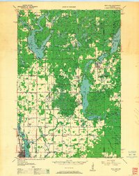
1949 · Rice Lake
USGS Topo · 1:48,000
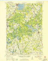
1951 · Shell Lake
USGS Topo · 1:48,000
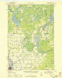
1951 · Rice Lake
USGS Topo · 1:48,000
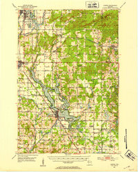
1951 · Chetek
USGS Topo · 1:62,500
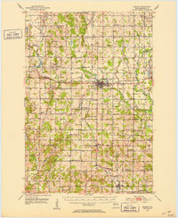
1951 · Barron
USGS Topo · 1:62,500

1953 · Rice Lake
USGS Topo · 1:250,000

1959 · Rice Lake
USGS Topo · 1:250,000
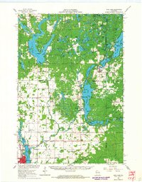
1965 · Rice Lake
USGS Topo · 1:62,500
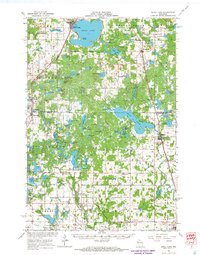
1965 · Shell Lake
USGS Topo · 1:62,500
1978 · Poskin
USGS Topo · 1:24,000