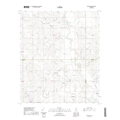
2018 Map of Barrontown
USGS Topo · Published 2018About this map
Morriston and Macedonia anchor this portrait of the Pine Belt where Forrest, Jones, and Perry Counties meet. The landscape is defined by the dendritic drainage of Tallahala Creek and its many tributaries, including Courtney Cr and Sweetwater Cr. Historically significant milling sites are suggested by the names of Sholars Mill Cr and Woodards Mill Cr, while the rural settlement pattern is traced through a dense network of family-named cemeteries such as Kirkland Cem, Odoms Cem, and Union Cem.
Find a feature on this map
116 named features on this map. Tap any name to fly to it.
Don’t see what you’re looking for? This feature index may not catch every label — zoom into the map to look around manually.
Map Details
Editions of this 2018 Barrontown Map
This is the sole edition of this map. No revisions or reprints were ever made.
Other maps of this area

1953 · Hattiesburg
USGS Topo · 1:250,000

1958 · Hattiesburg
USGS Topo · 1:250,000

1963 · Barrontown
USGS Topo · 1:24,000

1964 · Carterville
USGS Topo · 1:24,000

1964 · Ovett SE
USGS Topo · 1:24,000

1964 · Ovett
USGS Topo · 1:24,000

1964 · Ellisville
USGS Topo · 1:24,000

1964 · Hattiesburg
USGS Topo · 1:24,000

1964 · Lanham
USGS Topo · 1:24,000

1965 · Eastabuchie
USGS Topo · 1:24,000