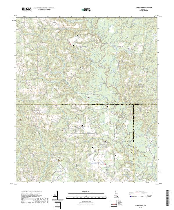
2024 Map of Barrontown
USGS Topo · Published 2024About this map
Tallahala Creek and its many tributaries, including Sholars Mill Creek, define the landscape where Jones, Forrest, and Perry counties meet. This survey shows a rural southern Mississippi landscape characterized by family-named cemeteries and small settlements. The area around Morriston is particularly notable for its concentration of local landmarks like Morriston Cem, Runnels Cem, and Odoms Cem.
Find a feature on this map
114 named features on this map. Tap any name to fly to it.
Don’t see what you’re looking for? This feature index may not catch every label — zoom into the map to look around manually.
Map Details
Editions of this 2024 Barrontown Map
This is the sole edition of this map. No revisions or reprints were ever made.
Other maps of this area

1953 · Hattiesburg
USGS Topo · 1:250,000

1958 · Hattiesburg
USGS Topo · 1:250,000

1963 · Barrontown
USGS Topo · 1:24,000

1964 · Carterville
USGS Topo · 1:24,000

1964 · Ovett SE
USGS Topo · 1:24,000

1964 · Ovett
USGS Topo · 1:24,000

1964 · Ellisville
USGS Topo · 1:24,000

1964 · Hattiesburg
USGS Topo · 1:24,000

1964 · Lanham
USGS Topo · 1:24,000

1965 · Eastabuchie
USGS Topo · 1:24,000