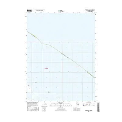
2016 Map of Barrow A-1 NW
USGS Topo · Published 2016About this map
Beaufort Sea waters dominate this coastal Arctic landscape along the northern edge of the North Slope Borough. The shoreline is defined by a series of low-lying landforms including the narrow Plover Islands chain and Tulimanik Island, which shelter the shallow inner waters from the open sea. Near the western edge of the survey, Tangent Point serves as a prominent coastal marker above Kulgurak Island. This 2016 survey, produced using data from the U.S. Geological Survey and the Alaska Department of Transportation, provides a precise look at the shifting coastal geography of the United States at the edge of the Arctic Ocean. The grid-based mapping of townships t21n r12w and t21n r11w illustrates the intersection of administrative boundaries with the natural irregularities of the Alaskan coastline.
Find a feature on this map
10 named features on this map. Tap any name to fly to it.
Don’t see what you’re looking for? This feature index may not catch every label — zoom into the map to look around manually.
Map Details
Editions of this 2016 Barrow A-1 NW Map
This is the sole edition of this map. No revisions or reprints were ever made.
Other maps of this area

1945 · Barrow
USGS Topo · 1:250,000

1949 · Barrow
USGS Topo · 1:250,000

1955 · Barrow A-2
USGS Topo · 1:63,360

1955 · Barrow
USGS Topo · 1:250,000
1955 · Barrow A-1
USGS Topo · 1:63,360
1962 · Barrow A-1
USGS Topo · 1:50,000
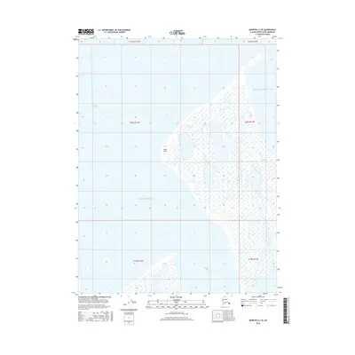
2016 · Barrow A-2 SE
USGS Topo · 1:25,000
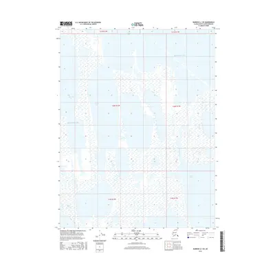
2016 · Barrow A-1 SW
USGS Topo · 1:25,000
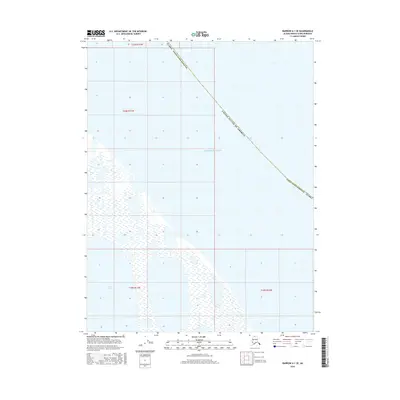
2016 · Barrow A-1 SE
USGS Topo · 1:25,000
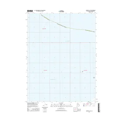
2016 · Barrow A-2 NE
USGS Topo · 1:25,000