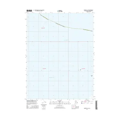
2016 Map of Barrow A-2 NE
USGS Topo · Published 2016About this map
The Beaufort Sea dominates this arctic coastal survey, where the waters of the United States of America meet the northernmost edge of the Alaska North Slope Borough. The landscape is defined by the subtle coastal transition between the mainland and the offshore barrier islands. Small, low-lying landforms like Igalik Island and Kulgurak Island provide the only breaks in the marine expanse, marking a fragile shoreline at the top of the world. This map records the precise positioning of the Public Land Survey System grid, including t22n r13w and t21n r13w, as it reaches into the sea. The sparse nomenclature reflects the isolation of this maritime environment, where mapping efforts focus on the relationship between the shifting arctic ice, seasonal waters, and the borough's protected coastal boundaries.
Find a feature on this map
9 named features on this map. Tap any name to fly to it.
Don’t see what you’re looking for? This feature index may not catch every label — zoom into the map to look around manually.
Map Details
Editions of this 2016 Barrow A-2 NE Map
This is the sole edition of this map. No revisions or reprints were ever made.
Other maps of this area

1945 · Barrow
USGS Topo · 1:250,000

1949 · Barrow
USGS Topo · 1:250,000

1955 · Barrow A-2
USGS Topo · 1:63,360

1955 · Barrow
USGS Topo · 1:250,000
1955 · Barrow A-1
USGS Topo · 1:63,360
1962 · Barrow A-1
USGS Topo · 1:50,000
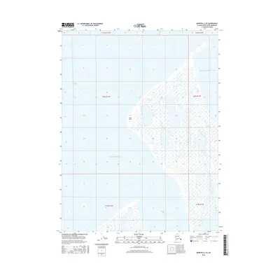
2016 · Barrow A-2 SE
USGS Topo · 1:25,000
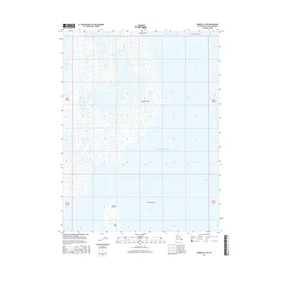
2016 · Barrow A-2 SW
USGS Topo · 1:25,000
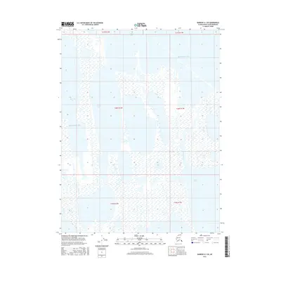
2016 · Barrow A-1 SW
USGS Topo · 1:25,000
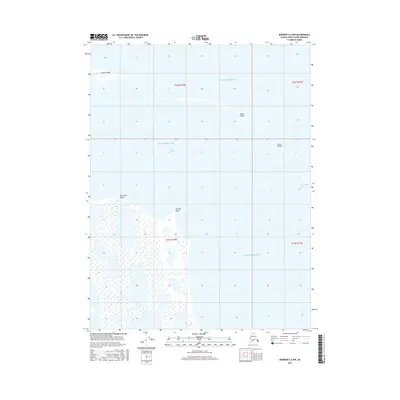
2016 · Barrow A-2 NW
USGS Topo · 1:25,000