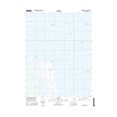
2016 Map of Barrow A-2 NW
USGS Topo · Published 2016About this map
Beaufort Sea waters meet the fractured coastline of the North Slope in this detailed geographic study. The map documents a fragile coastal interface where the Elson Lagoon is shielded from the open ocean by a chain of barrier features, including Cooper Island, Martin Island, and the Plover Islands. This littoral zone is defined by low-lying wetlands and significant coastal landmarks such as Kachiksuk Bluffs and Christie Point. To the south, the landscape transitions into a vast wetland plain dominated by features like Reindeer Lake, illustrating the complex hydrology of the Arctic tundra. The maritime passage at Sanigaruak Pass highlights the navigable breaks in the barrier islands that are critical for local movement between the lagoon and the sea. This record captures the precise positions of these shifting shorelines and islands during the early twenty-first century.
Find a feature on this map
13 named features on this map. Tap any name to fly to it.
Don’t see what you’re looking for? This feature index may not catch every label — zoom into the map to look around manually.
Map Details
Editions of this 2016 Barrow A-2 NW Map
This is the sole edition of this map. No revisions or reprints were ever made.
Other maps of this area

1945 · Barrow
USGS Topo · 1:250,000

1949 · Barrow
USGS Topo · 1:250,000

1955 · Barrow A-2
USGS Topo · 1:63,360

1955 · Barrow
USGS Topo · 1:250,000

1955 · Barrow A-3
USGS Topo · 1:63,360
1955 · Barrow B-3
USGS Topo · 1:63,360
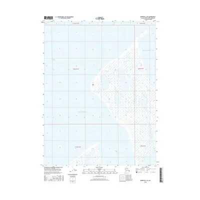
2016 · Barrow A-2 SE
USGS Topo · 1:25,000
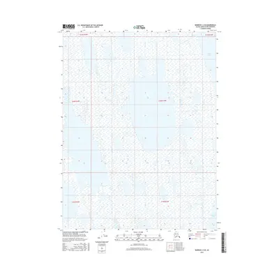
2016 · Barrow A-3 SE
USGS Topo · 1:25,000
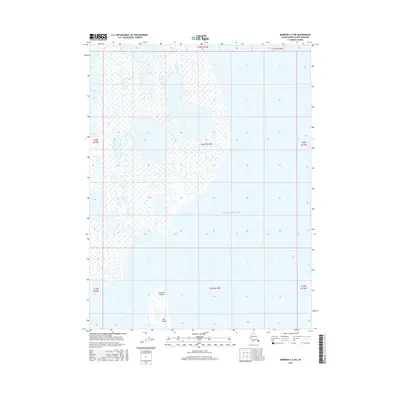
2016 · Barrow A-2 SW
USGS Topo · 1:25,000
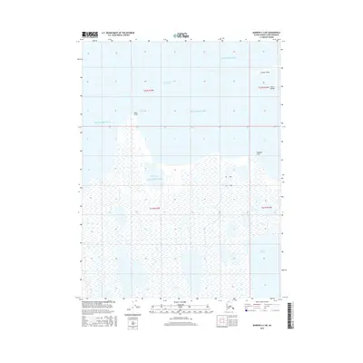
2016 · Barrow A-3 NE
USGS Topo · 1:25,000