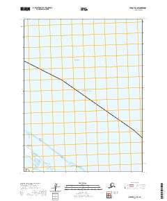
2020 Map of Barrow A-1 NW
USGS Topo · Published 2020About this map
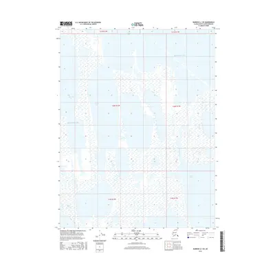
Beaufort Sea waters dominate this coastal Arctic landscape on the edge of the North Slope. The map documents a fragile coastal geography where the sea meets a series of barrier islands and landforms. Among these are the Plover Islands and Tulimanik Island, which sit south of Igalik Island in the open waters. The presence of Tangent Point and Kulgurak Island along the shoreline illustrates the transition from the mainland to the marine environment. This survey provides a baseline of the shifting northern coastline, tracing the exact positions of these remote islands and landforms as they existed in the early 21st century. The map is primarily an aquatic and coastal study, focused on the nautical boundaries where the northernmost reaches of Alaska encounter the sea.
Find a feature on this map
8 named features on this map. Tap any name to fly to it.
Don’t see what you’re looking for? This feature index may not catch every label — zoom into the map to look around manually.
Map Details
Editions of this 2020 Barrow A-1 NW Map
This is the sole edition of this map. No revisions or reprints were ever made.
Other maps of this area

1945 · Barrow
USGS Topo · 1:250,000

1949 · Barrow
USGS Topo · 1:250,000

1955 · Barrow A-2
USGS Topo · 1:63,360

1955 · Barrow
USGS Topo · 1:250,000
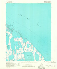
1955 · Barrow A-1
USGS Topo · 1:63,360
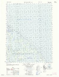
1962 · Barrow A-1
USGS Topo · 1:50,000
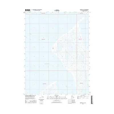
2016 · Barrow A-2 SE
USGS Topo · 1:25,000
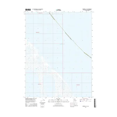
2016 · Barrow A-1 SW
USGS Topo · 1:25,000
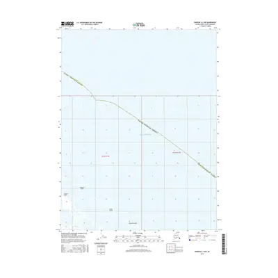
2016 · Barrow A-1 SE
USGS Topo · 1:25,000
2016 · Barrow A-1 NW
USGS Topo · 1:25,000