
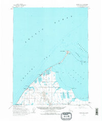
1955 Map of Barrow B-4
USGS Topo · Published 1966About this map
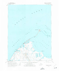
Point Barrow stands as the northernmost extremity of this 1955 survey, where the waters of the Chukchi Sea meet the Beaufort Sea at the edge of the Arctic Ocean. The map documents a critical period of infrastructure development at the top of the world, highlighting the Construction Camp and Pt Barrow Airfield alongside the established settlement of Barrow. The inclusion of Nuwuk at the very tip of the point and Browerville nearby provides essential geographical context for Arctic researchers and genealogists studying early North Slope communities. Beyond the coastal settlements, the interior is marked by the specialized logistics of the era, including several Tractor Trails and a Winter Trail cutting across the permafrost. The presence of Gas Well No 1 and Avak Test Hole 1 within the Naval Petroleum Reserve No. 4 points to the early exploration of energy resources in this remote northern landscape.
Find a feature on this map
27 named features on this map. Tap any name to fly to it.
Don’t see what you’re looking for? This feature index may not catch every label — zoom into the map to look around manually.
Map Details
Editions of this 1955 Barrow B-4 Map
2 editions found
Other maps of this area

1945 · Barrow
USGS Topo · 1:250,000

1949 · Barrow
USGS Topo · 1:250,000

1955 · Barrow
USGS Topo · 1:250,000

1955 · Barrow A-4
USGS Topo · 1:63,360

1955 · Barrow A-5
USGS Topo · 1:63,360

1955 · Barrow A-3
USGS Topo · 1:63,360
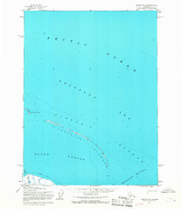
1955 · Barrow B-3
USGS Topo · 1:63,360
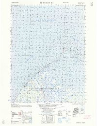
1962 · Barrow B-4
USGS Topo · 1:50,000
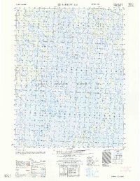
1962 · Barrow A-4
USGS Topo · 1:50,000
1973 · Barrow B-4
USGS Topo · 1:63,360