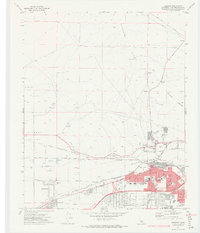
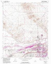
1971 Map of Barstow
USGS Topo · Published 1974About this map
The Mojave River carves through the high desert floor here, serving as the central artery for a region defined by heavy rail and mining during the early 1970s. The massive corridor of the Atchison Topeka and Santa Fe and Union Pacific railroads converges in Barstow, illustrating its role as a critical Western transit hub. Beyond the urban grid of the city, the landscape rises into the Waterman Hills and the Mitchel Range, where industrial activity is marked by the Waterman Mine and various Gravel Pits.
Find a feature on this map
63 named features on this map. Tap any name to fly to it.
Don’t see what you’re looking for? This feature index may not catch every label — zoom into the map to look around manually.
Map Details
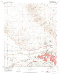
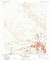
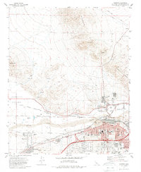
Editions of this 1971 Barstow Map
5 editions found
Other maps of this area

1915 · Searles Lake
USGS Topo · 1:250,000

1932 · Barstow
USGS Topo · 1:125,000

1933 · Avawatz Mountains
USGS Topo · 1:250,000

1934 · Barstow
USGS Topo · 1:125,000

1947 · Trona
USGS Topo · 1:250,000

1948 · Trona
USGS Topo · 1:250,000

1948 · Lane Mountain
USGS Topo · 1:62,500

1951 · Lane Mountain
USGS Topo · 1:62,500

1953 · San Bernardino
USGS Topo · 1:250,000

1953 · Trona
USGS Topo · 1:250,000