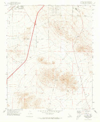
1971 Map of Barstow SE
USGS Topo · Published 1973About this map
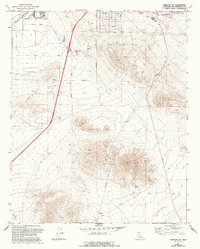
The settlement of Lenwood and the southern outskirts of Barstow define this high-desert landscape in the early 1970s. The map captures a moment of institutional and recreational expansion, shown by the campus of Barstow College and its adjacent Athletic Fields, as well as a Golf Course and a Drive-in Theater near the town center. The industrial and utility infrastructure of the era is clearly marked, including a Substation, multiple pipelines, and a Radio Facility (KJOI) located on the rising slopes above the valley floor.
Find a feature on this map
29 named features on this map. Tap any name to fly to it.
Don’t see what you’re looking for? This feature index may not catch every label — zoom into the map to look around manually.
Map Details
Editions of this 1971 Barstow SE Map
2 editions found
Other maps of this area

1932 · Barstow
USGS Topo · 1:125,000

1934 · Barstow
USGS Topo · 1:125,000

1953 · San Bernardino
USGS Topo · 1:250,000
1953 · Nebo
USGS Topo · 1:24,000

1955 · Ord Mountains
USGS Topo · 1:62,500

1956 · San Bernardino
USGS Topo · 1:250,000

1956 · Daggett
USGS Topo · 1:62,500

1956 · Barstow
USGS Topo · 1:62,500

1957 · Apple Valley
USGS Topo · 1:62,500

1957 · San Bernardino
USGS Topo · 1:250,000