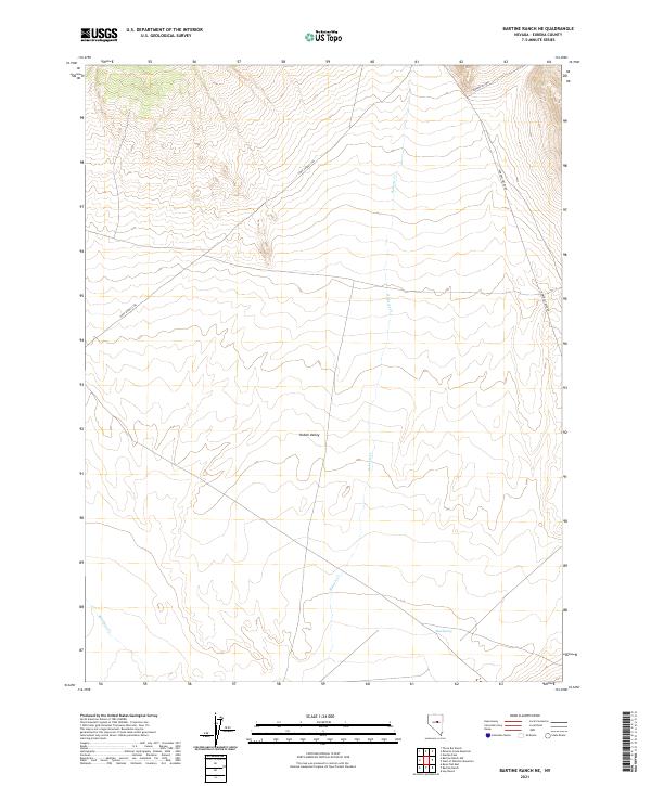
2021 Map of Bartine Ranch NE
USGS Topo · Published 2021About this map
Kobeh Valley dominates this high-altitude Nevada landscape, where the historical path of the Pony Express Trl cuts across the northern terrain. This modern survey illustrates the enduring geography of Eureka County, tracing the seasonal drainage patterns of Roberts Cr and Rutabaga Cr as they descend toward the basin floor. The network of corridors including Roberts Creek Rd and Garden Pass Rd follows the natural contours of the land, providing access to remote points like Mud Spring. This map is particularly valuable for those tracking the intersections of historic western transit routes with the natural water sources that once sustained travelers and local ranching operations in the Great Basin.
Find a feature on this map
7 named features on this map. Tap any name to fly to it.
Don’t see what you’re looking for? This feature index may not catch every label — zoom into the map to look around manually.
Map Details
Editions of this 2021 Bartine Ranch NE Map
This is the sole edition of this map. No revisions or reprints were ever made.
Other maps of this area

1926 · Roberts Mountains
USGS Topo · 1:250,000

1929 · Roberts Mountains
USGS Topo · 1:250,000

1949 · Garden Valley
USGS Topo · 1:62,500

1949 · Roberts Creek Mtn
USGS Topo · 1:62,500

1951 · Roberts Creek Mtn
USGS Topo · 1:62,500

1951 · Garden Valley
USGS Topo · 1:62,500

1955 · Millett
USGS Topo · 1:250,000

1956 · Bartine Ranch
USGS Topo · 1:62,500

1956 · Whistler Mtn
USGS Topo · 1:62,500

1959 · Millett
USGS Topo · 1:250,000