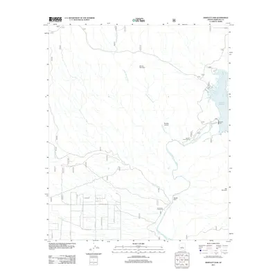
2011 Map of Bartlett Dam
USGS Topo · Published 2011About this map
Bartlett Dam and the Verde River anchor this landscape in Maricopa County, showing the intersection of vital water management and the arid Arizona terrain. The map traces the winding course of the river southward from the Bartlett Reservoir, where specialized coves like Rattlesnake Cove and South Cove are clearly delineated. Significant infrastructure for the region's utility operations is evident at the Salt River Project Housing settlement, located just downstream from the dam.
Find a feature on this map
24 named features on this map. Tap any name to fly to it.
Don’t see what you’re looking for? This feature index may not catch every label — zoom into the map to look around manually.
Map Details
Editions of this 2011 Bartlett Dam Map
This is the sole edition of this map. No revisions or reprints were ever made.
Other maps of this area

1904 · Camelback
USGS Topo · 1:62,500

1904 · Ft. McDowell
USGS Topo · 1:62,500

1906 · Camelsback
USGS Topo · 1:62,500

1906 · Ft. McDowell
USGS Topo · 1:62,500

1930 · Cave Creek
USGS Topo · 1:125,000

1939 · Cave Creek
USGS Topo · 1:125,000

1954 · Mesa
USGS Topo · 1:250,000

1957 · Mesa
USGS Topo · 1:250,000

1958 · Mesa
USGS Topo · 1:250,000

1960 · Mesa
USGS Topo · 1:250,000