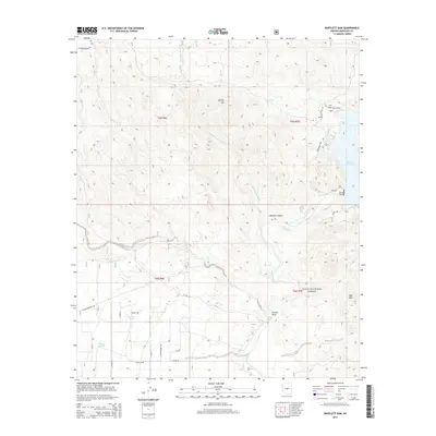
2014 Map of Bartlett Dam
USGS Topo · Published 2014About this map
Bartlett Dam and the southern reaches of the Bartlett Reservoir dominate the eastern edge of this landscape within the Tonto National Forest. The Verde River flows south from the dam, winding past distinctive geological formations such as Needle Rock and through the corridor of Bootleg Canyon. This 2014 survey documents the convergence of the river's riparian environment with the arid uplands of the Sonoran Desert, characterized by features like Brushy Mtn and Bee Mtn.
Find a feature on this map
27 named features on this map. Tap any name to fly to it.
Don’t see what you’re looking for? This feature index may not catch every label — zoom into the map to look around manually.
Map Details
Editions of this 2014 Bartlett Dam Map
This is the sole edition of this map. No revisions or reprints were ever made.
Other maps of this area

1904 · Camelback
USGS Topo · 1:62,500

1904 · Ft. McDowell
USGS Topo · 1:62,500

1906 · Camelsback
USGS Topo · 1:62,500

1906 · Ft. McDowell
USGS Topo · 1:62,500

1930 · Cave Creek
USGS Topo · 1:125,000

1939 · Cave Creek
USGS Topo · 1:125,000

1954 · Mesa
USGS Topo · 1:250,000

1957 · Mesa
USGS Topo · 1:250,000

1958 · Mesa
USGS Topo · 1:250,000

1960 · Mesa
USGS Topo · 1:250,000