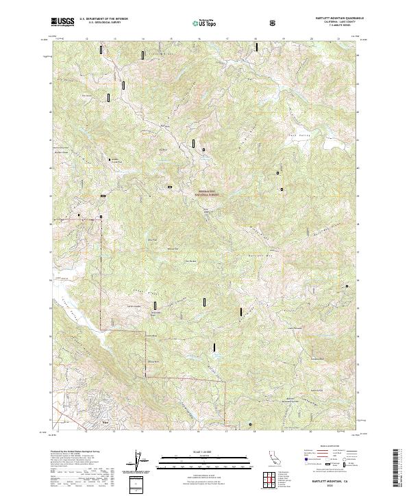
2022 Map of Bartlett Mountain
USGS Topo · Published 2022About this map
Nice sits along the northern shores of Clear Lake, serving as the primary residential hub for this portion of Lake County. This modern survey illustrates the interface between the developed streets of the community, such as Stokes Ave and Marin St, and the expansive wilderness of the Mendocino National Forest. The landscape is dominated by complex ridge systems like French Ridge and Alder Spring Ridge, which guide the drainages of N Fork Cache Cr and Rice Fork.
Find a feature on this map
83 named features on this map. Tap any name to fly to it.
Don’t see what you’re looking for? This feature index may not catch every label — zoom into the map to look around manually.
Map Details
Editions of this 2022 Bartlett Mountain Map
This is the sole edition of this map. No revisions or reprints were ever made.
Other maps of this area

1922 · Hullville
USGS Topo · 1:62,500

1924 · Bartlett Springs
USGS Topo · 1:62,500

1938 · Lakeport
USGS Topo · 1:62,500

1942 · Bartlett Springs
USGS Topo · 1:62,500

1944 · Bartlett Springs
USGS Topo · 1:62,500

1951 · Lake Pillsbury
USGS Topo · 1:62,500

1951 · Lakeport
USGS Topo · 1:62,500

1951 · Stonyford
USGS Topo · 1:62,500

1957 · Ukiah
USGS Topo · 1:250,000

1958 · Clearlake Oaks
USGS Topo · 1:24,000