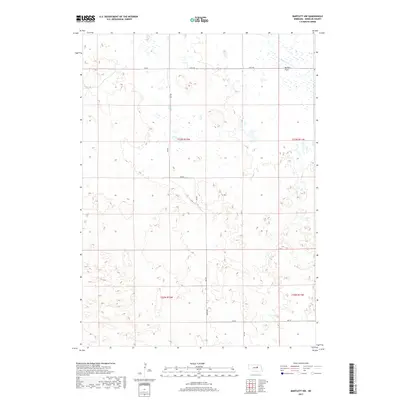
2017 Map of Bartlett NW
USGS Topo · Published 2017About this map
Buffalo Flats dominates the northeastern landscape of this Wheeler County region, characterized by a complex network of wetlands and high-plains terrain. Waterways are sparse, with the headwaters of Beaver Cr providing the primary drainage across the northern sections. The map reveals a strictly orthogonal grid of rural transport, where section-line roads like 839 Rd, 490 Ave, and 832 Rd facilitate movement across the cattle-ranching country of the Nebraska Sandhills. This 2017 survey reflects the enduring spatial organization of the Public Land Survey System, showing the township lines of T23N and T22N as they define the boundaries of local land use and infrastructure in this sparsely populated interior.
Find a feature on this map
14 named features on this map. Tap any name to fly to it.
Don’t see what you’re looking for? This feature index may not catch every label — zoom into the map to look around manually.
Map Details
Editions of this 2017 Bartlett NW Map
This is the sole edition of this map. No revisions or reprints were ever made.
Other maps of this area

1954 · Gables SE
USGS Topo · 1:24,000

1954 · Bartlett NW
USGS Topo · 1:24,000

1954 · Bartlett SE
USGS Topo · 1:24,000

1954 · Bartlett
USGS Topo · 1:24,000

1954 · Ericson
USGS Topo · 1:24,000

1954 · Gables
USGS Topo · 1:24,000

1955 · Broken Bow
USGS Topo · 1:250,000

1955 · O'Neill
USGS Topo · 1:250,000

1956 · Broken Bow
USGS Topo · 1:250,000

1959 · O'Neill
USGS Topo · 1:250,000