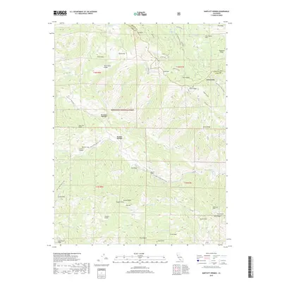
2018 Map of Bartlett Springs
USGS Topo · Published 2018About this map
Bartlett Springs serves as the central focal point of this 2018 survey, located within the sprawling northern California drainage basins of the Mendocino National Forest. The landscape is defined by its complex network of water sources, from the Rice Fork and N Fork Cache Cr to more localized springs like Newman Springs and Addington Springs. The presence of several named glades, including White Ranch Glades, Johnson Glades, and Evans Glade, suggests the historical importance of these open mountain meadows for grazing and early settlement.
Find a feature on this map
111 named features on this map. Tap any name to fly to it.
Don’t see what you’re looking for? This feature index may not catch every label — zoom into the map to look around manually.
Map Details
Editions of this 2018 Bartlett Springs Map
This is the sole edition of this map. No revisions or reprints were ever made.
Other maps of this area

1922 · Hullville
USGS Topo · 1:62,500

1924 · Bartlett Springs
USGS Topo · 1:62,500

1938 · Lakeport
USGS Topo · 1:62,500

1942 · Bartlett Springs
USGS Topo · 1:62,500

1944 · Bartlett Springs
USGS Topo · 1:62,500

1951 · Lake Pillsbury
USGS Topo · 1:62,500

1951 · Lakeport
USGS Topo · 1:62,500

1951 · Stonyford
USGS Topo · 1:62,500

1957 · Ukiah
USGS Topo · 1:250,000

1958 · Clearlake Oaks
USGS Topo · 1:24,000