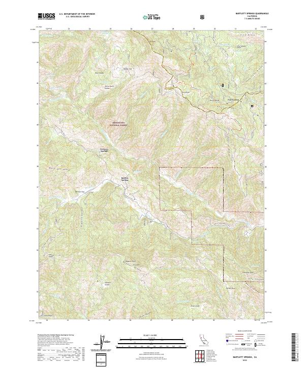
2022 Map of Bartlett Springs
USGS Topo · Published 2022About this map
Bartlett Springs and its neighboring mineral springs define this portion of the northern California Coast Ranges within the Mendocino National Forest. The landscape is characterized by a series of high ridges including Mary Ann Ridge, Spanish Ridge, and Ruppert Ridge, which separate the drainages of Bartlett Cr and the Rice Fork. The topography is dotted with a variety of small clearings known as glades, such as Johnson Glades, Root Glades, and Evans Glade, suggesting a traditional pattern of mountain grazing or homesteading. Transportation is primarily limited to rugged routes like Lake Co. Road (Bartlett Spr) and specialized paths such as the Green Flat Trl, illustrating the isolation of this terrain. High points like Pine Mtn and Goat Rock overlook a network of seasonal and perennial springs, including Newman Springs and Addington Springs, which have long been points of interest in this part of Lake County.
Find a feature on this map
68 named features on this map. Tap any name to fly to it.
Don’t see what you’re looking for? This feature index may not catch every label — zoom into the map to look around manually.
Map Details
Editions of this 2022 Bartlett Springs Map
This is the sole edition of this map. No revisions or reprints were ever made.
Other maps of this area

1922 · Hullville
USGS Topo · 1:62,500

1924 · Bartlett Springs
USGS Topo · 1:62,500

1938 · Lakeport
USGS Topo · 1:62,500

1942 · Bartlett Springs
USGS Topo · 1:62,500

1944 · Bartlett Springs
USGS Topo · 1:62,500

1951 · Lake Pillsbury
USGS Topo · 1:62,500

1951 · Lakeport
USGS Topo · 1:62,500

1951 · Stonyford
USGS Topo · 1:62,500

1957 · Ukiah
USGS Topo · 1:250,000

1958 · Clearlake Oaks
USGS Topo · 1:24,000