1978 Map of Barton
USGS Topo · Published 1978About this map
Woods Crossroads and Lopers Crossroads anchor this rural landscape in the late 1970s, where traditional Lowcountry settlements meet the infrastructure of the modern era. The Coosawhatchie River and its tributaries, including Little Duck Branch and Beech Branch, define the hydrology of the region. A series of Carolina bays or similar elliptical depressions are marked by the presence of Swallow Savanna and Levy Bay, features that have long influenced local land use and drainage patterns.
Find a feature on this map
41 named features on this map. Tap any name to fly to it.
Don’t see what you’re looking for? This feature index may not catch every label — zoom into the map to look around manually.
Map Details
Editions of this 1978 Barton Map
This is the sole edition of this map. No revisions or reprints were ever made.
Other maps of this area

1918 · Varnville
USGS Topo · 1:62,500

1919 · Olar
USGS Topo · 1:62,500

1919 · Allendale
USGS Topo · 1:62,500

1920 · Peeples
USGS Topo · 1:62,500

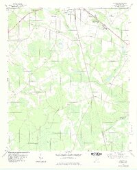
1943 · Olar
USGS Topo · 1:62,500
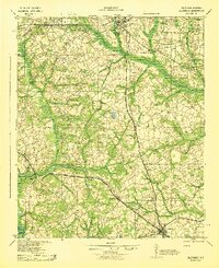
1943 · Allendale
USGS Topo · 1:62,500
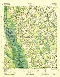
1943 · Peeples
USGS Topo · 1:62,500
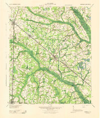
1944 · Varnville
USGS Topo · 1:62,500

1947 · Savannah
USGS Topo · 1:250,000

1948 · Savannah
USGS Topo · 1:250,000