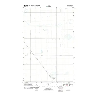
2011 Map of Barton
USGS Topo · Published 2011About this map
Barton sits in the southern portion of this landscape, serving as a focal point for a region defined by agricultural grid lines and seasonal watercourses. The drainage of Ox Creek meanders across the northern half of the territory, while Willow Creek enters from the northwest corner. This 2011 survey shows the meticulous organization of rural Pierce County, where a network of section line roads like 21st Ave Ne and 75 1/2 St Ne facilitate movement between isolated farmsteads and the central settlement. The terrain is marked by numerous small depressions and basins, characteristic of the prairie pothole region, which influence the winding paths of the local creeks and the placement of rural infrastructure.
Find a feature on this map
21 named features on this map. Tap any name to fly to it.
Don’t see what you’re looking for? This feature index may not catch every label — zoom into the map to look around manually.
Map Details
Editions of this 2011 Barton Map
This is the sole edition of this map. No revisions or reprints were ever made.
Other maps of this area

1954 · Towner NE
USGS Topo · 1:24,000

1954 · Overly SE
USGS Topo · 1:24,000

1954 · Omemee
USGS Topo · 1:24,000

1954 · Barton
USGS Topo · 1:24,000

1954 · Round Lake
USGS Topo · 1:24,000

1954 · Leverich
USGS Topo · 1:24,000

1954 · Willow City
USGS Topo · 1:24,000

1954 · Minot
USGS Topo · 1:250,000

1955 · Fonda
USGS Topo · 1:24,000

1955 · Overly
USGS Topo · 1:24,000