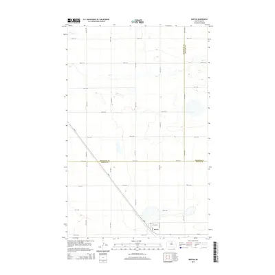
2014 Map of Barton
USGS Topo · Published 2014About this map
Barton serves as the primary hub of this North Dakota prairie landscape, situated near the intersection of the diagonal Nd-60 and local routes like Barton St and Lake St. The terrain is defined by the subtle drainages of Willow Cr in the northwest and the meandering path of Ox Cr further south, which winds through a patchwork of agricultural sections. Positioned at the convergence of Bottineau, Rolette, and Pierce counties, the area's layout reflects the rigid township and range system typical of the Great Plains. The map details the network of section-line roads, such as 83rd St NE and 24th Ave NE, that facilitate movement across this largely rural expanse, illustrating the persistent settlement patterns of the early twenty-first century.
Find a feature on this map
25 named features on this map. Tap any name to fly to it.
Don’t see what you’re looking for? This feature index may not catch every label — zoom into the map to look around manually.
Map Details
Editions of this 2014 Barton Map
This is the sole edition of this map. No revisions or reprints were ever made.
Other maps of this area

1954 · Towner NE
USGS Topo · 1:24,000

1954 · Overly SE
USGS Topo · 1:24,000

1954 · Omemee
USGS Topo · 1:24,000

1954 · Barton
USGS Topo · 1:24,000

1954 · Round Lake
USGS Topo · 1:24,000

1954 · Leverich
USGS Topo · 1:24,000

1954 · Willow City
USGS Topo · 1:24,000

1954 · Minot
USGS Topo · 1:250,000

1955 · Fonda
USGS Topo · 1:24,000

1955 · Overly
USGS Topo · 1:24,000