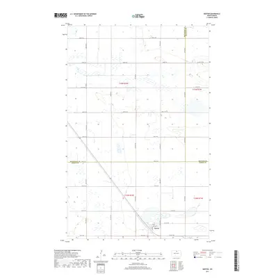
2017 Map of Barton
USGS Topo · Published 2017About this map
Barton serves as the primary hub of this North Dakota prairie landscape, situated near the intersection of Lake St and Barton St. The terrain is defined by a dense network of sectional roads, including 83rd St NE and 75th St NE, which facilitate the movement of agricultural goods through the region. This 2017 survey reveals the intricate hydrography of the Northern Great Plains, where Ox Cr meanders across the township lines. The map also captures the jurisdictional boundaries where Bottineau, Rolette, and Pierce County meet, showing how these administrative lines intersect with the natural drainage patterns of the surrounding wetlands and fields.
Find a feature on this map
20 named features on this map. Tap any name to fly to it.
Don’t see what you’re looking for? This feature index may not catch every label — zoom into the map to look around manually.
Map Details
Editions of this 2017 Barton Map
This is the sole edition of this map. No revisions or reprints were ever made.
Other maps of this area

1954 · Towner NE
USGS Topo · 1:24,000

1954 · Overly SE
USGS Topo · 1:24,000

1954 · Omemee
USGS Topo · 1:24,000

1954 · Barton
USGS Topo · 1:24,000

1954 · Round Lake
USGS Topo · 1:24,000

1954 · Leverich
USGS Topo · 1:24,000

1954 · Willow City
USGS Topo · 1:24,000

1954 · Minot
USGS Topo · 1:250,000

1955 · Fonda
USGS Topo · 1:24,000

1955 · Overly
USGS Topo · 1:24,000