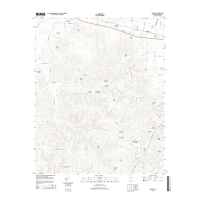
2014 Map of Barton
USGS Topo · Published 2014About this map
Key Underwood Coondog Memorial Park and the associated Coondog Cemetery serve as a unique landmark in this corner of Colbert County, south of the Barton and Cherokee settlements. The landscape is defined by its numerous springs and ridges, with Watson Spring and Denton Spring feeding the drainage systems of Buzzard Roost Creek and Williams Branch.
Find a feature on this map
77 named features on this map. Tap any name to fly to it.
Don’t see what you’re looking for? This feature index may not catch every label — zoom into the map to look around manually.
Map Details
Editions of this 2014 Barton Map
This is the sole edition of this map. No revisions or reprints were ever made.
Other maps of this area

1911 · Iuka
USGS Topo · 1:48,000

1914 · Iuka
USGS Topo · 1:62,500

1924 · Gravelly Springs
USGS Topo · 1:48,000

1925 · Barton
USGS Topo · 1:62,500

1926 · Barton
USGS Topo · 1:48,000

1926 · Gravelly Springs
USGS Topo · 1:62,500

1929 · Barton
USGS Topo · 1:62,500

1935 · Cherokee
USGS Topo · 1:24,000

1935 · Pleasant Site
USGS Topo · 1:24,000

1936 · Margerum
USGS Topo · 1:24,000