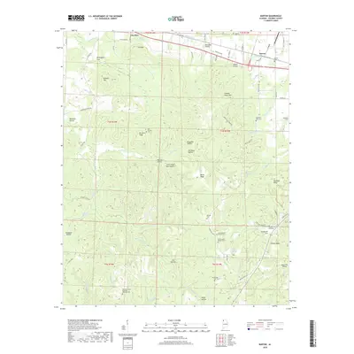
2018 Map of Barton
USGS Topo · Published 2018About this map
Key Underwood Coondog Memorial Park highlights the unique cultural landscape of Colbert County in this 2018 survey. The terrain is defined by a series of prominent ridges and hollows, such as Mtn Mills Ridge and Bugg Mill Hollow, which separate the agricultural lowlands from the higher elevations of Sand Mtn and Wildcat Mtn. The settlement pattern follows the established corridors of the Old Lee Hwy, connecting the communities of Cherokee and Barton.
Find a feature on this map
84 named features on this map. Tap any name to fly to it.
Don’t see what you’re looking for? This feature index may not catch every label — zoom into the map to look around manually.
Map Details
Editions of this 2018 Barton Map
This is the sole edition of this map. No revisions or reprints were ever made.
Other maps of this area

1911 · Iuka
USGS Topo · 1:48,000

1914 · Iuka
USGS Topo · 1:62,500

1924 · Gravelly Springs
USGS Topo · 1:48,000

1925 · Barton
USGS Topo · 1:62,500

1926 · Barton
USGS Topo · 1:48,000

1926 · Gravelly Springs
USGS Topo · 1:62,500

1929 · Barton
USGS Topo · 1:62,500

1935 · Cherokee
USGS Topo · 1:24,000

1935 · Pleasant Site
USGS Topo · 1:24,000

1936 · Margerum
USGS Topo · 1:24,000