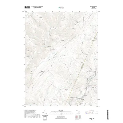
2019 Map of Barton
USGS Topo · Published 2019About this map
Georges Creek carves a central corridor through this portion of western Maryland, anchoring the industrial and residential heart of Barton and Moscow. The landscape is defined by the steep transition from the valley floor to the high ridges of Big Savage Mtn and Jackson Mtn. Traces of the region's mining heritage are visible in the infrastructure around Barton Hill and Potomac Hill, while the Barton Debris Basin serves as a modern managed feature of the local watershed.
Find a feature on this map
92 named features on this map. Tap any name to fly to it.
Don’t see what you’re looking for? This feature index may not catch every label — zoom into the map to look around manually.
Map Details
Editions of this 2019 Barton Map
This is the sole edition of this map. No revisions or reprints were ever made.
Other maps of this area

1891 · Romney
USGS Topo · 1:125,000

1895 · Piedmont
USGS Topo · 1:125,000

1898 · Frostburg
USGS Topo · 1:62,500

1899 · Grantsville
USGS Topo · 1:62,500

1901 · Frostburg
USGS Topo · 1:62,500

1904 · Grantsville
USGS Topo · 1:62,500

1908 · Frostburg
USGS Topo · 1:62,500

1919 · Elk Garden
USGS Topo · 1:48,000

1920 · Elk Garden
USGS Topo · 1:48,000

1920 · Keyser
USGS Topo · 1:62,500