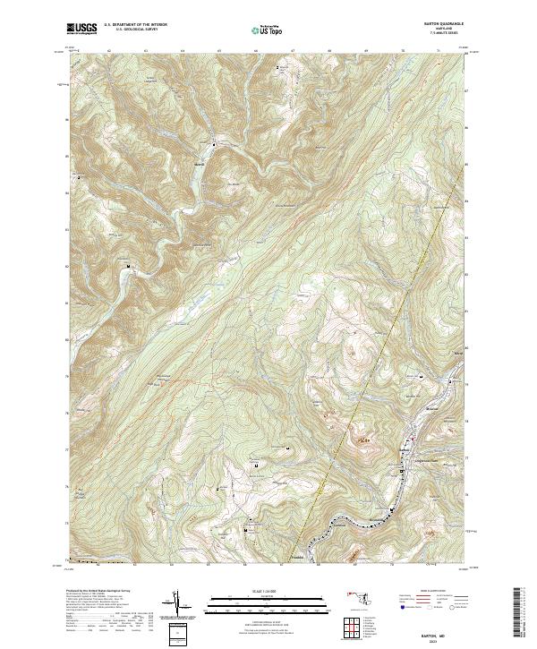
2023 Map of Barton
USGS Topo · Published 2023About this map
Big Savage Mountain and Elbow Mountain dominate the terrain of this Allegany County region, where the rugged topography of the Savage River basin meets the industrial legacy of Georges Creek. The map reveals a dense network of family heritage sites, particularly evident in the cluster of small burial grounds like the Jacob Sigler Stone House Cem and Fazenbaker Farm Cem near Phoenix Hill. These private and family cemeteries reflect the long-standing settlement patterns of the Maryland panhandle.
Find a feature on this map
105 named features on this map. Tap any name to fly to it.
Don’t see what you’re looking for? This feature index may not catch every label — zoom into the map to look around manually.
Map Details
Editions of this 2023 Barton Map
This is the sole edition of this map. No revisions or reprints were ever made.
Other maps of this area

1891 · Romney
USGS Topo · 1:125,000

1895 · Piedmont
USGS Topo · 1:125,000

1898 · Frostburg
USGS Topo · 1:62,500

1899 · Grantsville
USGS Topo · 1:62,500

1901 · Frostburg
USGS Topo · 1:62,500

1904 · Grantsville
USGS Topo · 1:62,500

1908 · Frostburg
USGS Topo · 1:62,500

1919 · Elk Garden
USGS Topo · 1:48,000

1920 · Elk Garden
USGS Topo · 1:48,000

1920 · Keyser
USGS Topo · 1:62,500