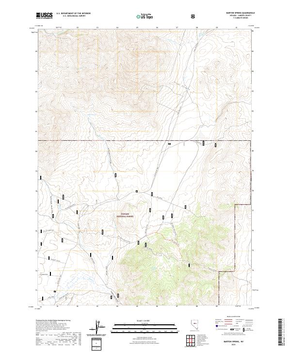
2021 Map of Barton Spring
USGS Topo · Published 2021About this map
Toiyabe National Forest dominates this section of Lander County, where the high-altitude landscape is defined by a series of springs and deep drainages. Mt Prometheus stands as a primary landmark in the southwest, overlooking the dramatic descent of Emigrant Canyon. The mapping of these remote corridors shows a reliance on water sources such as Windlass Spring, Streshley Spring, and Barton Spring, which historically supported movement through the Great Basin.
Find a feature on this map
33 named features on this map. Tap any name to fly to it.
Don’t see what you’re looking for? This feature index may not catch every label — zoom into the map to look around manually.
Map Details
Editions of this 2021 Barton Spring Map
This is the sole edition of this map. No revisions or reprints were ever made.
Other maps of this area

1926 · Roberts Mountains
USGS Topo · 1:250,000

1929 · Roberts Mountains
USGS Topo · 1:250,000

1955 · Millett
USGS Topo · 1:250,000

1956 · Mount Callaghan
USGS Topo · 1:62,500

1956 · Austin
USGS Topo · 1:62,500

1959 · Millett
USGS Topo · 1:250,000

1960 · Spencer Hot Springs
USGS Topo · 1:62,500

1969 · Yankee Blade
USGS Topo · 1:24,000

1969 · Vigus Butte NE
USGS Topo · 1:24,000

1978 · Summit Mountain
USGS Topo · 1:100,000