
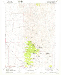
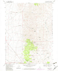
1969 Map of Yankee Blade
USGS Topo · Published 1971About this map
Yankee Blade and the surrounding Reese River mining district are captured here in the late 1960s, showing a landscape defined by deep-canyon prospecting and high-altitude springs. The rugged terrain of the Toiyabe National Forest is honeycombed with vertical shafts and horizontal tunnels, marking a transition from 19th-century boom settlements like Amador and Midas to the specialized mining infrastructure of a later era. Notable workings such as the Silver Eagle Shaft, Chase Tunnel, and True Blue Tunnel concentrate along San Francisco Canyon and New York Canyon, where the topography dictated the placement of early silver and gold claims.
Find a feature on this map
50 named features on this map. Tap any name to fly to it.
Don’t see what you’re looking for? This feature index may not catch every label — zoom into the map to look around manually.
Map Details
Editions of this 1969 Yankee Blade Map
3 editions found
Other maps of this area

1926 · Roberts Mountains
USGS Topo · 1:250,000

1929 · Roberts Mountains
USGS Topo · 1:250,000

1955 · Millett
USGS Topo · 1:250,000

1956 · Mount Callaghan
USGS Topo · 1:62,500

1956 · Austin
USGS Topo · 1:62,500

1959 · Millett
USGS Topo · 1:250,000

1960 · Spencer Hot Springs
USGS Topo · 1:62,500

1969 · Vigus Butte NE
USGS Topo · 1:24,000

1969 · Vigus Butte
USGS Topo · 1:24,000

1969 · Vigus Butte NW
USGS Topo · 1:24,000