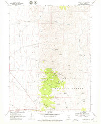
1969 Map of Yankee Blade
USGS Topo · Published 1979About this map
Mining operations and historical claims define the landscape of Toiyabe National Forest during the late 1960s. The region is marked by an extensive network of subterranean development, including the North Silver King Mine and several prominent tunnels such as the True Blue Tunnel, Patriot Tunnels, and the Morris and Caple Tunnel. These features, concentrated around the settlement area of Yankee Blade and New York Canyon, reflect a legacy of hard-rock mineral exploration in the high desert.
Find a feature on this map
37 named features on this map. Tap any name to fly to it.
Don’t see what you’re looking for? This feature index may not catch every label — zoom into the map to look around manually.
Map Details
Editions of this 1969 Yankee Blade Map
3 editions found
Other maps of this area

1926 · Roberts Mountains
USGS Topo · 1:250,000

1929 · Roberts Mountains
USGS Topo · 1:250,000

1955 · Millett
USGS Topo · 1:250,000

1956 · Mount Callaghan
USGS Topo · 1:62,500

1956 · Austin
USGS Topo · 1:62,500

1959 · Millett
USGS Topo · 1:250,000

1960 · Spencer Hot Springs
USGS Topo · 1:62,500

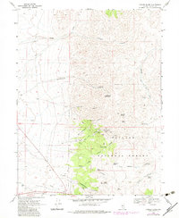
1969 · Yankee Blade
USGS Topo · 1:24,000

1969 · Vigus Butte NE
USGS Topo · 1:24,000

1969 · Vigus Butte
USGS Topo · 1:24,000