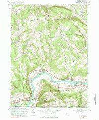
1969 Map of Barton
USGS Topo · Published 1986About this map
The Susquehanna River cuts a wide, serpentine path through this 1969 landscape, defining the commercial and residential hubs of Barton, Smithboro, and Nichols. Parallel transportation corridors hug the riverbanks, with the Lehigh Valley and Erie-Lackawanna railroads facilitating the movement of goods through the valley. This concentration of infrastructure in the lowlands contrasts sharply with the surrounding uplands, where family names are etched into the terrain at Prospect Hill and Oak Hill.
Find a feature on this map
62 named features on this map. Tap any name to fly to it.
Don’t see what you’re looking for? This feature index may not catch every label — zoom into the map to look around manually.
Map Details
Editions of this 1969 Barton Map
2 editions found
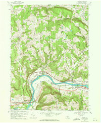
Other maps of this area

1902 · Waverly
USGS Topo · 1:62,500

1903 · Owego
USGS Topo · 1:62,500

1905 · Watkins Glen
USGS Topo · 1:125,000

1906 · Catatonk
USGS Topo · 1:125,000

1923 · Towanda
USGS Topo · 1:62,500

1926 · Towanda
USGS Topo · 1:62,500

1939 · Sayre
USGS Topo · 1:62,500

1942 · Sayre
USGS Topo · 1:62,500

1943 · Towanda
USGS Topo · 1:62,500

1948 · Sayre
USGS Topo · 1:62,500