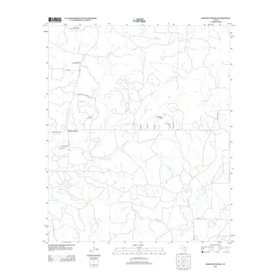
2012 Map of Bartons Chapel
USGS Topo · Published 2012About this map
Bartons Chapel is the central settlement in this Jack County landscape, defined by a network of drainage creeks and rural roads. The local history of the community is anchored by the Bartons Chapel Cem located just north of the town center along Barton Chapel Cemetery Rd. The terrain is characterized by the branching waters of the W Fork Keechi Cr and Springdale Br, which carve through the countryside toward landmarks like Tettertiller Hill. Transportation in the early 21st century relies on a mix of farm-to-market routes and local thoroughfares such as FM 2210 and Hwy 4. Aviation presence is noted at the One Sixty Four Place Airport in the north, while family-named locations like Martin Lndg suggest the enduring importance of local landholdings in this part of North Texas.
Find a feature on this map
26 named features on this map. Tap any name to fly to it.
Don’t see what you’re looking for? This feature index may not catch every label — zoom into the map to look around manually.
Map Details
Editions of this 2012 Bartons Chapel Map
This is the sole edition of this map. No revisions or reprints were ever made.
Other maps of this area

1891 · Palo Pinto
USGS Topo · 1:125,000

1918 · Palo Pinto
USGS Topo · 1:125,000

1924 · Palo Pinto 2-a
USGS Topo · 1:48,000

1924 · Palo Pinto 1-b
USGS Topo · 1:48,000

1927 · Pickwick
USGS Topo · 1:62,500

1927 · Mineral Wells
USGS Topo · 1:62,500

1954 · Abilene
USGS Topo · 1:250,000

1954 · Wichita Falls
USGS Topo · 1:250,000

1958 · Wichita Falls
USGS Topo · 1:250,000

1958 · Abilene
USGS Topo · 1:250,000