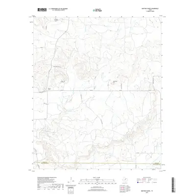
2019 Map of Bartons Chapel
USGS Topo · Published 2019About this map
Bartons Chapel is a quiet rural community located just north of the border between Jack County and Palo Pinto County. The landscape is defined by the winding paths of W Fork Keechi Cr and East Fork Keechi Creek, which drain the rolling terrain near Tettertiller Hill. This late 2010s survey captures a snapshot of contemporary land use where family-named routes like Gowan Ranch Ln and Potts Ln provide access to cattle operations and private estates. The local history is anchored by the Bartons Chapel Cem, while modern activity is noted at the One-Sixty Four Place Airport in the northern portion of the quadrangle. The intersection of FM 2210 and FM 4 remains the primary artery for this corner of North Texas, connecting isolated ranch land to the broader region.
Find a feature on this map
24 named features on this map. Tap any name to fly to it.
Don’t see what you’re looking for? This feature index may not catch every label — zoom into the map to look around manually.
Map Details
Editions of this 2019 Bartons Chapel Map
This is the sole edition of this map. No revisions or reprints were ever made.
Other maps of this area

1891 · Palo Pinto
USGS Topo · 1:125,000

1918 · Palo Pinto
USGS Topo · 1:125,000

1924 · Palo Pinto 2-a
USGS Topo · 1:48,000

1924 · Palo Pinto 1-b
USGS Topo · 1:48,000

1927 · Pickwick
USGS Topo · 1:62,500

1927 · Mineral Wells
USGS Topo · 1:62,500

1954 · Abilene
USGS Topo · 1:250,000

1954 · Wichita Falls
USGS Topo · 1:250,000

1958 · Wichita Falls
USGS Topo · 1:250,000

1958 · Abilene
USGS Topo · 1:250,000