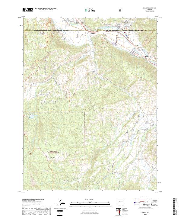
2022 Map of Basalt
USGS Topo · Published 2022About this map
Basalt sits at the confluence of the Roaring Fork River and Fryingpan River, serving as a gateway to the high-country reaches of the White River National Forest. This modern survey details a landscape where historic agricultural infrastructure, such as the Home Supply Ditch and Arbaney Ditch, continues to dictate the layout of the valley floor alongside the modern Rio Grande Trl. The map documents the persistent identity of small communities like Emma and Hooks, while the presence of Fairview Cem provides a focal point for genealogical interest in the area. High-altitude features like McCartney Mesa and the expansive Hay Park reflect the transition from the settled river valley to the protected wilderness of the surrounding peaks.
Find a feature on this map
90 named features on this map. Tap any name to fly to it.
Don’t see what you’re looking for? This feature index may not catch every label — zoom into the map to look around manually.
Map Details
Editions of this 2022 Basalt Map
This is the sole edition of this map. No revisions or reprints were ever made.
Other maps of this area

1893 · Aspen
USGS Topo · 1:62,500

1895 · Aspen
USGS Topo · 1:62,500

1909 · Mount Jackson
USGS Topo · 1:125,000

1911 · Mount Jackson
USGS Topo · 1:125,000

1957 · Leadville
USGS Topo · 1:250,000

1959 · Leadville
USGS Topo · 1:250,000

1960 · Leadville
USGS Topo · 1:250,000

1960 · Highland Peak
USGS Topo · 1:24,000

1960 · Capitol Peak
USGS Topo · 1:24,000

1960 · Redstone
USGS Topo · 1:24,000