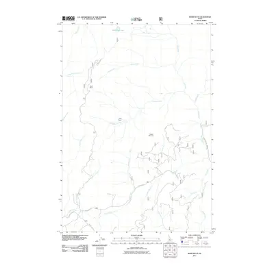
2011 Map of Basin Butte
USGS Topo · Published 2011About this map
Basin Butte and Potato Mountain dominate this central Idaho landscape, which is defined by a dense network of mountain drainages and forestry access routes. This 2011 survey illustrates the hydrological importance of the region, where waters from Valley Creek Lake and Sunday Creek feed into the larger system of Basin Creek. The map details a rugged interior accessible primarily via named forest service and development roads, such as Nip and Tuck Rd and the Kelly Creek Rd. The presence of several distinct basins, including Little Basin, suggests a complex terrain of high-altitude valleys. For researchers, the map provides precise data on the drainage patterns of numerous creeks, including Noho Creek and Elkhorn Creek, which carve through the Custer County wilderness.
Find a feature on this map
25 named features on this map. Tap any name to fly to it.
Don’t see what you’re looking for? This feature index may not catch every label — zoom into the map to look around manually.
Map Details
Editions of this 2011 Basin Butte Map
This is the sole edition of this map. No revisions or reprints were ever made.
Other maps of this area

1891 · Bear Valley
USGS Topo · 1:125,000

1893 · Bear Valley
USGS Topo · 1:125,000

1919 · Custer
USGS Topo · 1:125,000

1922 · Custer
USGS Topo · 1:125,000

1957 · Challis
USGS Topo · 1:250,000

1960 · Challis
USGS Topo · 1:250,000

1963 · Challis
USGS Topo · 1:250,000

1963 · Stanley
USGS Topo · 1:24,000

1963 · Basin Butte
USGS Topo · 1:24,000

1963 · Casino Lakes
USGS Topo · 1:24,000