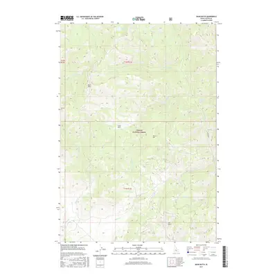
2017 Map of Basin Butte
USGS Topo · Published 2017About this map
Challis National Forest dominates this high-elevation landscape in Custer County, where complex drainage systems define the rugged topography. The terrain is anchored by prominent summits like Basin Butte and Potato Mtn, with the watershed feeding numerous named tributaries including Stanley Cr, Basin Cr, and Kelly Cr. A distinctive alpine feature, Valley Cr Lake, sits in the northern reaches, while Little Basin provides a natural clearing amidst the steeper slopes. The 2017 survey reflects the modern management of this backcountry area, showing the network of forest roads and trails that intersect features such as Joes Gulch and Anderson Cr. This map is an essential reference for understanding the hydrological patterns of the region, tracing the paths of Sunday Cr and Duffey Cr as they flow through the protected forest lands.
Find a feature on this map
24 named features on this map. Tap any name to fly to it.
Don’t see what you’re looking for? This feature index may not catch every label — zoom into the map to look around manually.
Map Details
Editions of this 2017 Basin Butte Map
This is the sole edition of this map. No revisions or reprints were ever made.
Other maps of this area

1891 · Bear Valley
USGS Topo · 1:125,000

1893 · Bear Valley
USGS Topo · 1:125,000

1919 · Custer
USGS Topo · 1:125,000

1922 · Custer
USGS Topo · 1:125,000

1957 · Challis
USGS Topo · 1:250,000

1960 · Challis
USGS Topo · 1:250,000

1963 · Challis
USGS Topo · 1:250,000

1963 · Stanley
USGS Topo · 1:24,000

1963 · Basin Butte
USGS Topo · 1:24,000

1963 · Casino Lakes
USGS Topo · 1:24,000