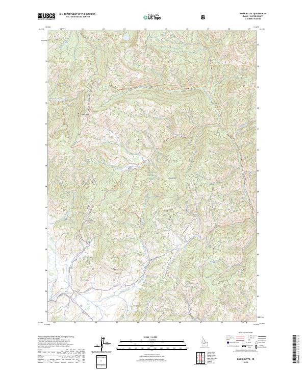
2024 Map of Basin Butte
USGS Topo · Published 2024About this map
Challis National Forest defines the rugged geography of this high-elevation Idaho landscape, where a dense network of forest roads and pack trails reveals a history of backcountry access. Central to the area is Basin Butte, a prominent topographical feature complemented by Potato Mtn to the east. The drainage patterns are defined by the East Fork Valley Creek and Stanley Creek, reflecting a wilderness managed for conservation and recreation. Notable historical infrastructure includes the Basin Butte Lookout Trl and various arterial routes like Basin Butte Rd and Kelly Creek Rd. These paths, alongside specialized routes like the Joes Gulch Jeep Rd and Nip And Tuck Rd, suggest a legacy of forest management, fire lookout stationing, and early twentieth-century travel through the Sawtooth range area.
Find a feature on this map
43 named features on this map. Tap any name to fly to it.
Don’t see what you’re looking for? This feature index may not catch every label — zoom into the map to look around manually.
Map Details
Editions of this 2024 Basin Butte Map
This is the sole edition of this map. No revisions or reprints were ever made.
Other maps of this area

1891 · Bear Valley
USGS Topo · 1:125,000

1893 · Bear Valley
USGS Topo · 1:125,000

1919 · Custer
USGS Topo · 1:125,000

1922 · Custer
USGS Topo · 1:125,000

1957 · Challis
USGS Topo · 1:250,000

1960 · Challis
USGS Topo · 1:250,000

1963 · Challis
USGS Topo · 1:250,000

1963 · Stanley
USGS Topo · 1:24,000

1963 · Basin Butte
USGS Topo · 1:24,000

1963 · Casino Lakes
USGS Topo · 1:24,000