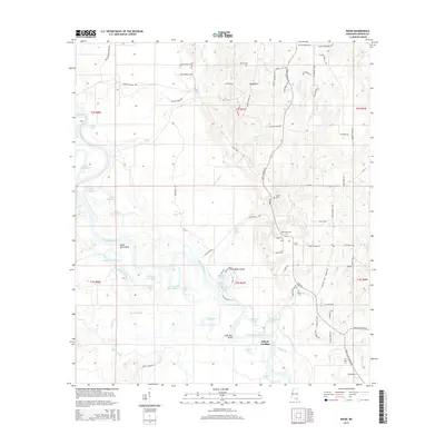
2015 Map of Basin
USGS Topo · Published 2015About this map
The Pascagoula River meanders through George County in this modern survey, creating a complex network of oxbows and sloughs including Bilbo Dead River, Green Dead River, and McCrea Dead River. The settlement of Basin sits on the eastern side of the river valley, surrounded by a landscape of family-named landmarks and roads such as Walter Havard Rd and Monkey Mizell Rd. This geography highlights the persistent rural character of the area, where life remains oriented toward the water at locations like Gibson Landing and Bull Bay Bend.
Find a feature on this map
96 named features on this map. Tap any name to fly to it.
Don’t see what you’re looking for? This feature index may not catch every label — zoom into the map to look around manually.
Map Details
Editions of this 2015 Basin Map
This is the sole edition of this map. No revisions or reprints were ever made.
Other maps of this area

1941 · Vancleave
USGS Topo · 1:62,500

1941 · Lucedale
USGS Topo · 1:62,500

1943 · Lucedale
USGS Topo · 1:62,500

1943 · Vancleave
USGS Topo · 1:62,500

1944 · Vancleave
USGS Topo · 1:62,500

1947 · Benndale
USGS Topo · 1:62,500

1949 · Benndale
USGS Topo · 1:62,500

1953 · Mobile
USGS Topo · 1:250,000

1954 · Vestry
USGS Topo · 1:62,500

1957 · Mobile
USGS Topo · 1:250,000