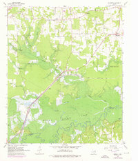
1965 Map of Bassett
USGS Topo · Published 1976About this map
The St Louis Southwestern railroad corridor anchors this northeast Texas landscape, running parallel to the Sulphur River and the sprawling waters of Wright Patman Lake. The terrain is defined by its drainage into the river bottom, marked by numerous named lakes such as Mudd Lake, Calvert Lake, and Mossy Lake. This 1965 survey (updated in 1975) captures several community hubs centered on rural churches and schools, including Siloam and Simms, the latter of which features the Bowie High Sch.
Find a feature on this map
31 named features on this map. Tap any name to fly to it.
Don’t see what you’re looking for? This feature index may not catch every label — zoom into the map to look around manually.
Map Details
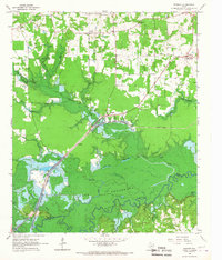
Editions of this 1965 Bassett Map
2 editions found
Other maps of this area

1909 · New Boston
USGS Topo · 1:62,500

1910 · Linden
USGS Topo · 1:62,500

1914 · Daingerfield
USGS Topo · 1:62,500

1930 · Bassett
USGS Topo · 1:62,500

1953 · Texarkana
USGS Topo · 1:250,000

1954 · New Boston
USGS Topo · 1:24,000

1955 · Corley
USGS Topo · 1:24,000

1955 · New Boston
USGS Topo · 1:62,500

1956 · Texarkana
USGS Topo · 1:250,000
1965 · Hodgson
USGS Topo · 1:24,000