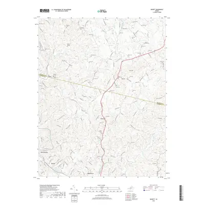
2019 Map of Bassett
USGS Topo · Published 2019About this map
The Smith River corridor anchors the communities of Bassett, North Bassett, and Stanleytown in this modern survey of Henry County. The landscape is characterized by its dense concentration of family cemeteries, reflecting generations of residency and providing vital clues for genealogists. Notable sites include the Hurt-Thompson Cem, Ramsey-Stanley-King Cem, and the Gardner-Ramsey Cem.
Find a feature on this map
152 named features on this map. Tap any name to fly to it.
Don’t see what you’re looking for? This feature index may not catch every label — zoom into the map to look around manually.
Map Details
Editions of this 2019 Bassett Map
This is the sole edition of this map. No revisions or reprints were ever made.
Other maps of this area

1924 · Martinsville
USGS Topo · 1:48,000

1925 · Rocky Mount
USGS Topo · 1:48,000

1926 · Martinsville
USGS Topo · 1:62,500

1926 · Critz
USGS Topo · 1:48,000

1927 · Rocky Mount
USGS Topo · 1:62,500

1927 · Martinsville
USGS Topo · 1:62,500

1928 · Critz
USGS Topo · 1:62,500

1944 · Martinsville
USGS Topo · 1:62,500

1944 · Rocky Mount
USGS Topo · 1:62,500

1953 · Winston-Salem
USGS Topo · 1:250,000