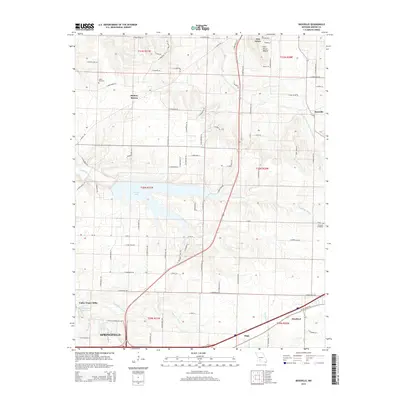
2015 Map of Bassville
USGS Topo · Published 2015About this map
Fellows Lake dominates the central landscape of this Greene County region, a significant reservoir formed along the Little Sac River. To the north and south, the terrain transitions from the distinct Fair Grove Mound near the community of Fair Grove to the northern outskirts of Springfield. The map documents a blend of rural agricultural land and emerging suburban infrastructure, including the neighborhood of Valley Water Mills and the village of Strafford. Local heritage is anchored by long-standing landmarks like Salem Cemetery and Dishman Cemetery, alongside natural features such as Hickory Barren. The hydrologic network is intricate, with the Little Pomme de Terre River and S-Dry Sac River carving through the plateau, while the Valley Water Mill Pond highlights the area's historical reliance on local water sources.
Find a feature on this map
85 named features on this map. Tap any name to fly to it.
Don’t see what you’re looking for? This feature index may not catch every label — zoom into the map to look around manually.
Map Details
Editions of this 2015 Bassville Map
This is the sole edition of this map. No revisions or reprints were ever made.
Other maps of this area

1884 · Springfield
USGS Topo · 1:125,000

1886 · Springfield
USGS Topo · 1:125,000

1935 · Springfield
USGS Topo · 1:24,000

1937 · Galloway
USGS Topo · 1:24,000

1937 · Ozark
USGS Topo · 1:48,000

1943 · Ozark
USGS Topo · 1:62,500

1945 · Ozark
USGS Topo · 1:62,500

1946 · Bassville
USGS Topo · 1:24,000

1947 · Strafford
USGS Topo · 1:62,500

1948 · Bassville
USGS Topo · 1:24,000