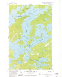
1981 Map of Basswood Lake East
USGS Topo · Published 1982About this map
The international border between United States and Canada splits the waters of Basswood Lake in this early 1980s topographic record. The landscape is defined by a dense network of islands and channels where Quetico Provincial Park in Ontario meets the Superior National Forest Wilderness in Minnesota. This specific survey captures the geography of the Boundary Waters Canoe Area, showing numerous portage routes connecting isolated water bodies like Indiana Lake and Good Lake.
Find a feature on this map
44 named features on this map. Tap any name to fly to it.
Don’t see what you’re looking for? This feature index may not catch every label — zoom into the map to look around manually.
Map Details
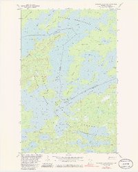
Editions of this 1981 Basswood Lake East Map
2 editions found
Other maps of this area

1954 · Two Harbors
USGS Topo · 1:250,000

1957 · Two Harbors
USGS Topo · 1:250,000

1957 · Gabbro Lake
USGS Topo · 1:62,500

1957 · Ensign Lake
USGS Topo · 1:62,500

1957 · Basswood Lake
USGS Topo · 1:62,500

1957 · Quetico
USGS Topo · 1:250,000

1958 · Two Harbors
USGS Topo · 1:250,000

1964 · Two Harbors
USGS Topo · 1:250,000

1968 · Quetico
USGS Topo · 1:250,000
1976 · Basswood Lake SW
USGS Topo · 1:24,000