
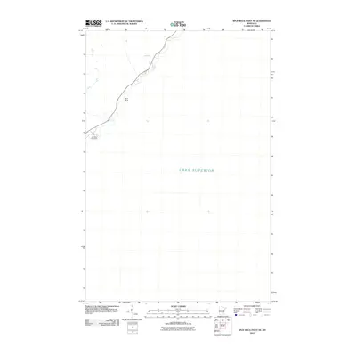
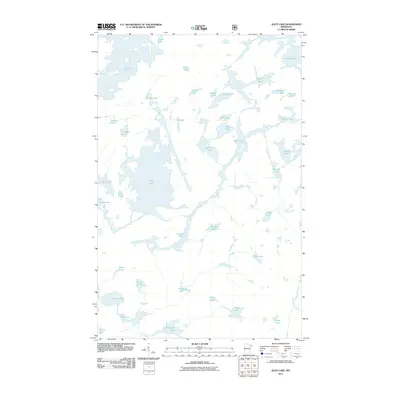
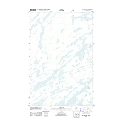
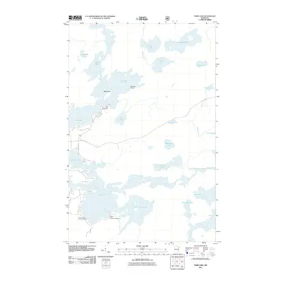
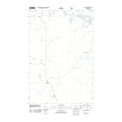
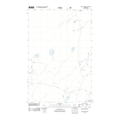
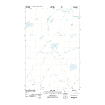
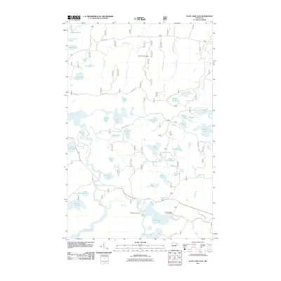
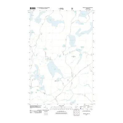
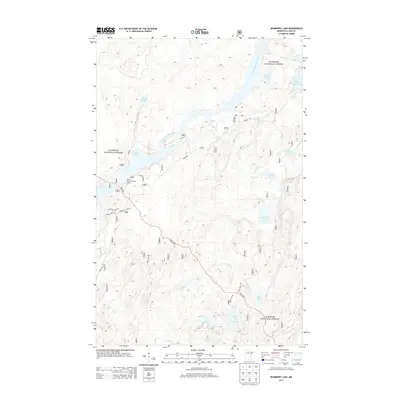
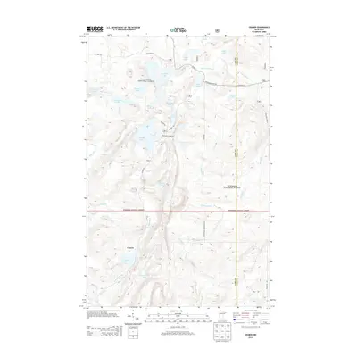
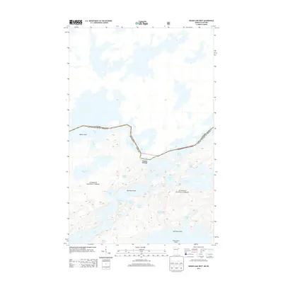
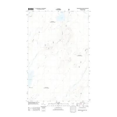
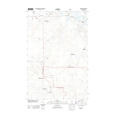
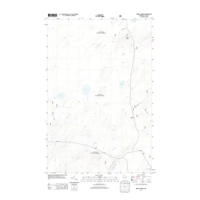
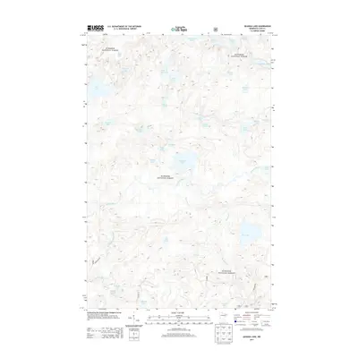
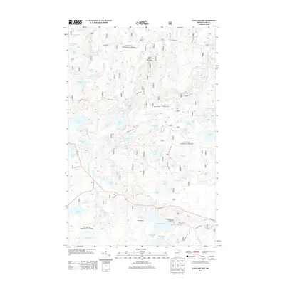
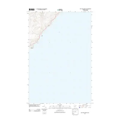
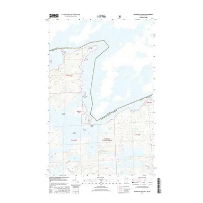
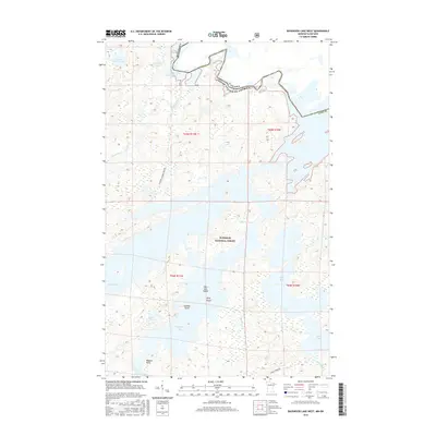
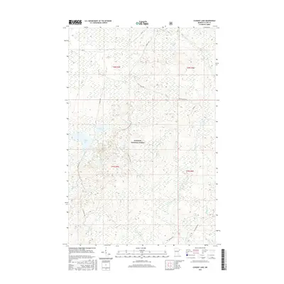
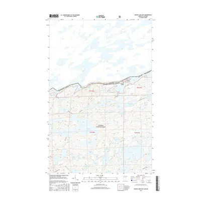
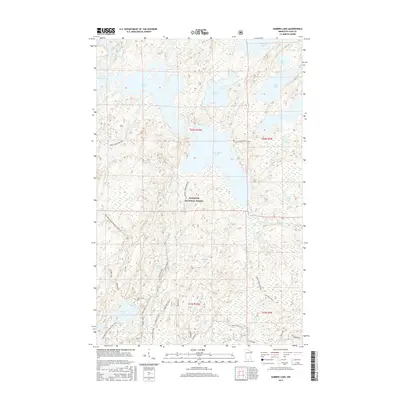
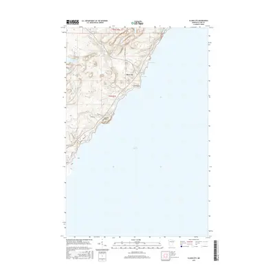
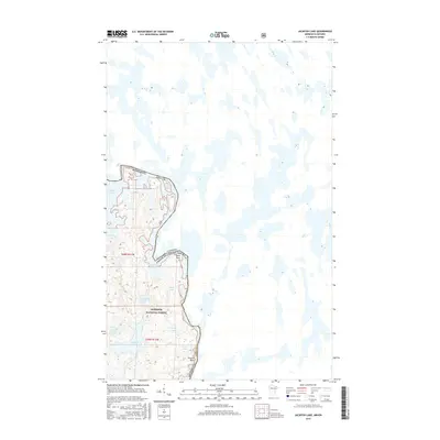
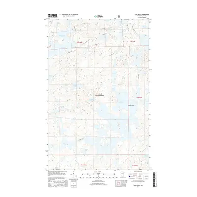
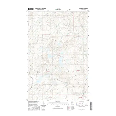
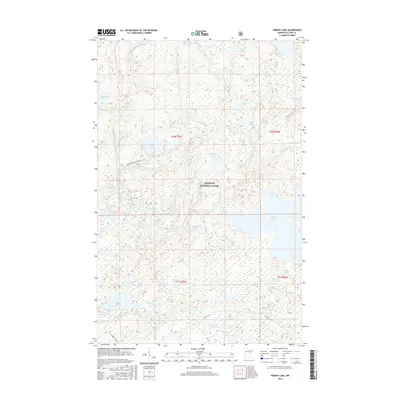
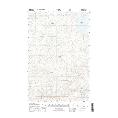
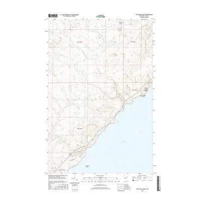
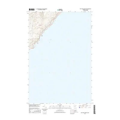
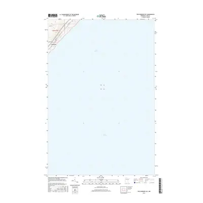
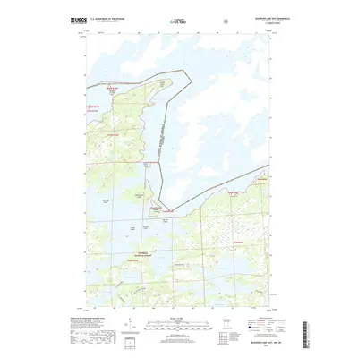
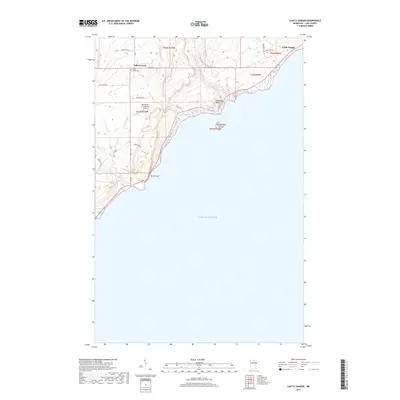
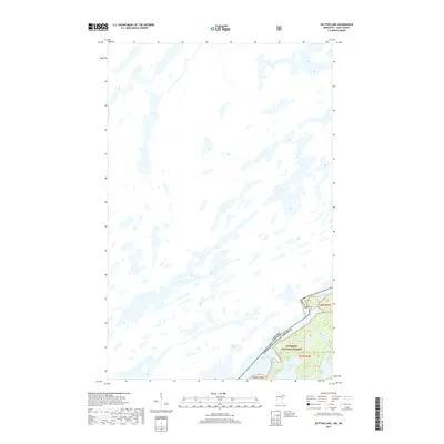
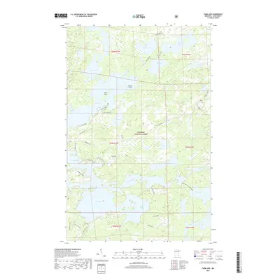
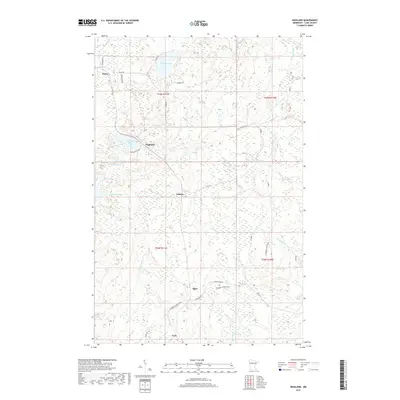
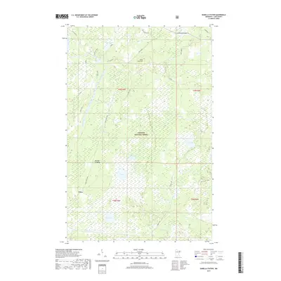
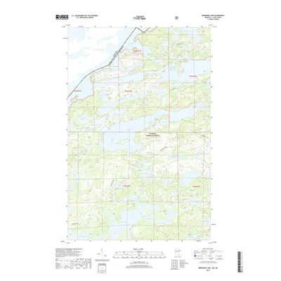
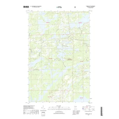
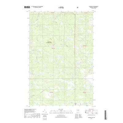
1976 Map of Basswood Lake SW
USGS Topo · Published 1979About this map
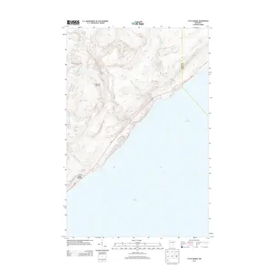
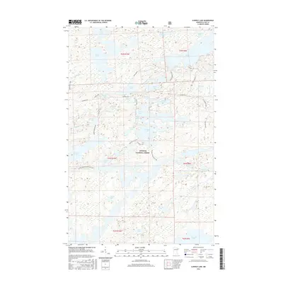
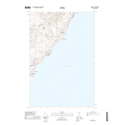
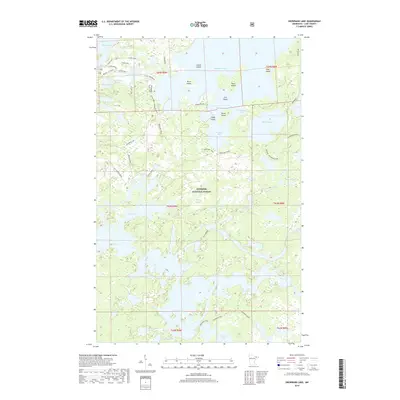
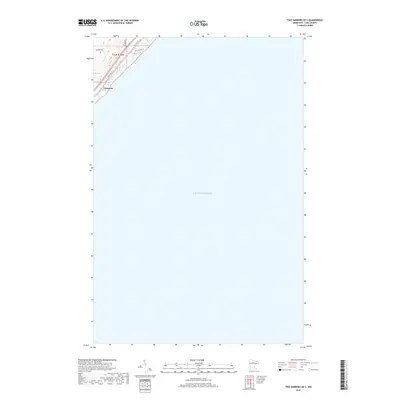
The Basswood River defines the international boundary in this 1976 orthophotoquad, where the water-heavy landscape of the border country is captured in stark detail. This specific imagery was rectified from high-altitude aerial photography taken in May of that year, showing the intricate network of islands and interconnected waterways that span the line between Minnesota and Ontario. Unlike standard topographic maps, this photo-based record emphasizes the density of the forest cover and the complex shoreline geometry of the region before any later digital updates. The visual contrast between the dark lake waters and the textured canopy provides a direct look at the hydrology of the Boundary Waters area during the mid-1970s, serving as a primary reference for the state of the wilderness at that moment.
Find a feature on this map
2 named features on this map. Tap any name to fly to it.
Don’t see what you’re looking for? This feature index may not catch every label — zoom into the map to look around manually.
Map Details
Editions of this 1976 Basswood Lake SW Map
This is the sole edition of this map. No revisions or reprints were ever made.
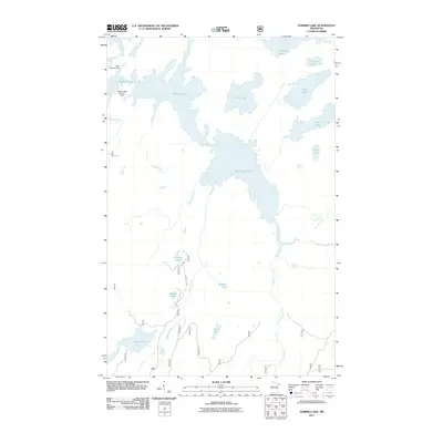
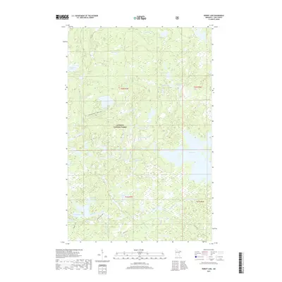
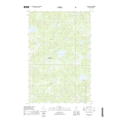
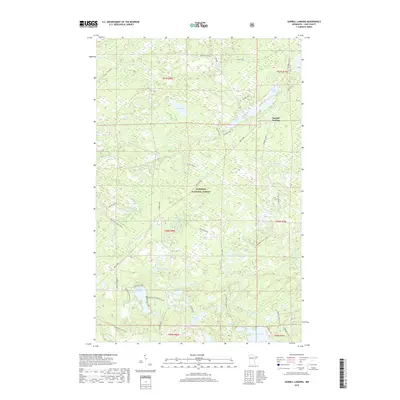
Historical Maps of United States Through Time
306 maps found

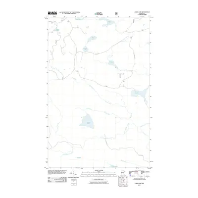
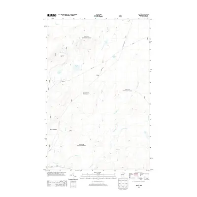
1953 Whyte
Lake County, MN

1954 Greenwood Lake
Lake County, MN

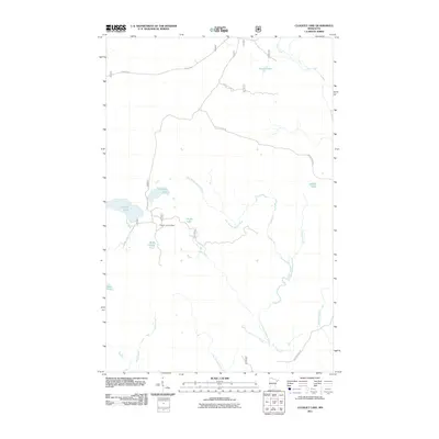
1955 Cramer
Lake County, MN

1955 Isabella
Lake County, MN

1956 Illgen City
Lake County, MN

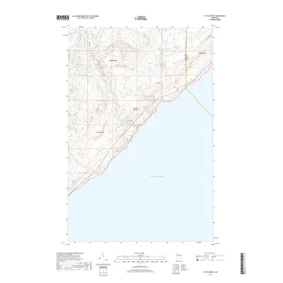
1956 Little Marais
Lake County, MN

1956 Split Rock Point
Lake County, MN

1956 Split Rock Point NE
Lake County, MN

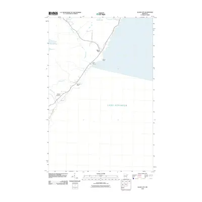
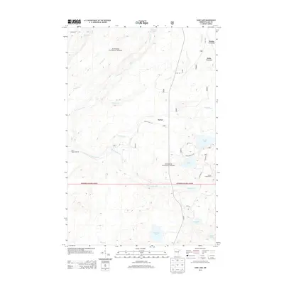
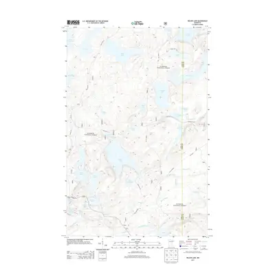
1957 Basswood Lake
Lake County, MN

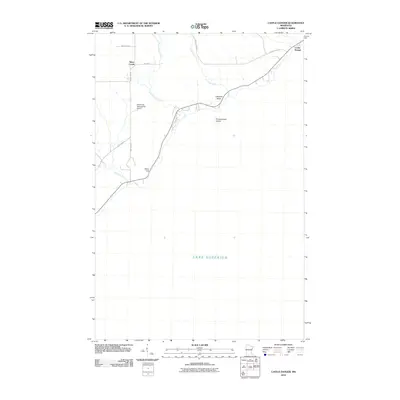
1957 Castle Danger
Lake County, MN

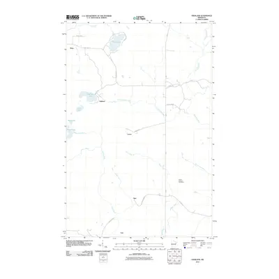
1957 Ensign Lake
Lake County, MN

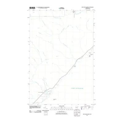
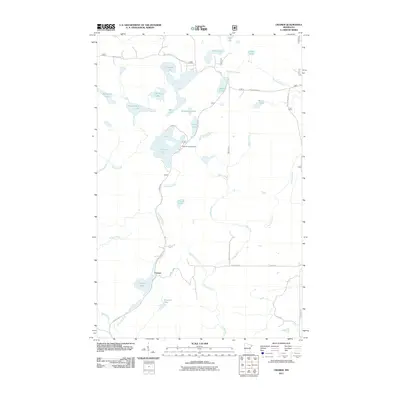
1957 Gabbro Lake
Lake County, MN

1957 Two Harbors NE
Lake County, MN

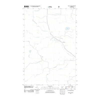
1959 Dutton Lake
Lake County, MN

1959 Ester Lake
Lake County, MN

1959 Kekekabic Lake
Lake County, MN

1959 Ogishkemuncie Lake
Lake County, MN

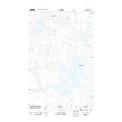
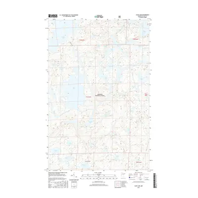
1960 Alice Lake
Lake County, MN

1960 Kawishiwi Lake
Lake County, MN

1960 Lake Polly
Lake County, MN

1960 Perent Lake
Lake County, MN

1976 Basswood Lake NW
Lake County, MN

1976 Basswood Lake SE
Lake County, MN
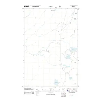
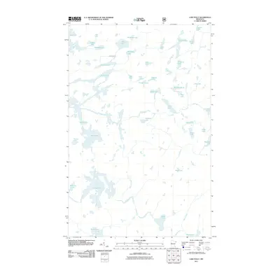
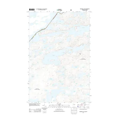
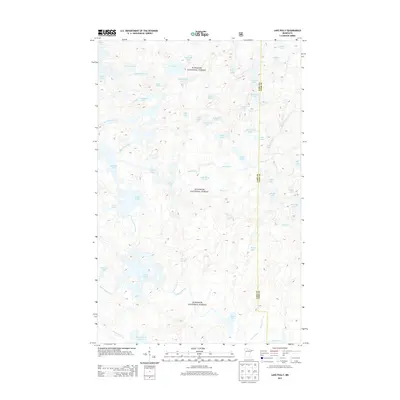
1976 Basswood Lake SW
Lake County, MN

1976 Ensign Lake SE
Lake County, MN

1976 Ensign Lake SW
Lake County, MN

1977 Basswood Lake
Lake County, MN

1981 Basswood Lake East
Lake County, MN

1981 Basswood Lake West
Lake County, MN

1981 Bogberry Lake
Lake County, MN

1981 Cramer
Lake County, MN

1981 Ensign Lake East
Lake County, MN

1981 Ensign Lake West
Lake County, MN

1981 Farm Lake
Lake County, MN

1981 Gabbro Lake
Lake County, MN

1981 Highland
Lake County, MN

1981 Isabella
Lake County, MN

1981 Isabella Lake
Lake County, MN

1981 Jackfish Lake
Lake County, MN

1981 Kane Lake
Lake County, MN

1981 Lake Insula
Lake County, MN

1981 Legler Lake
Lake County, MN

1981 Mitawan Lake
Lake County, MN

1981 Ojibway Lake
Lake County, MN

1981 Quadga Lake
Lake County, MN

1981 Sawbill Landing
Lake County, MN

1981 Silver Island Lake
Lake County, MN

1981 Slate Lake East
Lake County, MN

1981 Slate Lake West
Lake County, MN

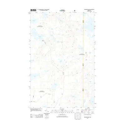
1981 Snowbank Lake
Lake County, MN

1981 Wilson Lake
Lake County, MN

1982 Cabin Lake
Lake County, MN

1982 Cloquet Lake
Lake County, MN

1982 Doyle Lake
Lake County, MN

1982 Greenwood Lake East
Lake County, MN

1982 Greenwood Lake West
Lake County, MN

1982 Isabella Station
Lake County, MN

1982 Mt Weber
Lake County, MN

1982 Silver Bay SW
Lake County, MN

1982 Whyte
Lake County, MN

1992 Castle Danger
Lake County, MN
2010 Castle Danger
Lake County, MN
2010 Highland
Lake County, MN
2010 Illgen City
Lake County, MN
2010 Split Rock Point
Lake County, MN
2010 Split Rock Point NE
Lake County, MN
2010 Split Rock Point OE S
Lake County, MN
2010 Two Harbors NE
Lake County, MN
2010 Two Harbors OE S
Lake County, MN
2011 Alice Lake
Lake County, MN
2011 Basswood Lake East
Lake County, MN
2011 Basswood Lake West
Lake County, MN
2011 Bogberry Lake
Lake County, MN
2011 Cabin Lake
Lake County, MN
2011 Cloquet Lake
Lake County, MN
2011 Cramer
Lake County, MN
2011 Doyle Lake
Lake County, MN
2011 Dutton Lake
Lake County, MN
2011 Ensign Lake East
Lake County, MN
2011 Ensign Lake West
Lake County, MN
2011 Ester Lake
Lake County, MN
2011 Farm Lake
Lake County, MN
2011 Gabbro Lake
Lake County, MN
2011 Greenwood Lake East
Lake County, MN
2011 Greenwood Lake West
Lake County, MN
2011 Isabella
Lake County, MN
2011 Isabella Lake
Lake County, MN
2011 Isabella Station
Lake County, MN
2011 Jackfish Lake
Lake County, MN
2011 Kane Lake
Lake County, MN
2011 Kawishiwi Lake
Lake County, MN
2011 Kekekabic Lake
Lake County, MN
2011 Lake Insula
Lake County, MN
2011 Lake Polly
Lake County, MN
2011 Legler Lake
Lake County, MN
2011 Little Marais
Lake County, MN
2011 Mitawan Lake
Lake County, MN
2011 Mount Weber
Lake County, MN
2011 Ogishkemuncie Lake
Lake County, MN
2011 Ojibway Lake
Lake County, MN
2011 Perent Lake
Lake County, MN
2011 Quadga Lake
Lake County, MN
2011 Sawbill Landing
Lake County, MN
2011 Silver Bay SW
Lake County, MN
2011 Silver Island Lake
Lake County, MN
2011 Slate Lake East
Lake County, MN
2011 Slate Lake West
Lake County, MN
2011 Snowbank Lake
Lake County, MN
2011 Whyte
Lake County, MN
2011 Wilson Lake
Lake County, MN
2013 Alice Lake
Lake County, MN
2013 Basswood Lake East
Lake County, MN
2013 Basswood Lake West
Lake County, MN
2013 Bogberry Lake
Lake County, MN
2013 Cabin Lake
Lake County, MN
2013 Castle Danger
Lake County, MN
2013 Cloquet Lake
Lake County, MN
2013 Cramer
Lake County, MN
2013 Doyle Lake
Lake County, MN
2013 Dutton Lake
Lake County, MN
2013 Ensign Lake East
Lake County, MN
2013 Ensign Lake West
Lake County, MN
2013 Ester Lake
Lake County, MN
2013 Farm Lake
Lake County, MN
2013 Gabbro Lake
Lake County, MN
2013 Greenwood Lake East
Lake County, MN
2013 Greenwood Lake West
Lake County, MN
2013 Highland
Lake County, MN
2013 Illgen City
Lake County, MN
2013 Isabella
Lake County, MN
2013 Isabella Lake
Lake County, MN
2013 Isabella Station
Lake County, MN
2013 Jackfish Lake
Lake County, MN
2013 Kane Lake
Lake County, MN
2013 Kawishiwi Lake
Lake County, MN
2013 Kekekabic Lake
Lake County, MN
2013 Lake Insula
Lake County, MN
2013 Lake Polly
Lake County, MN
2013 Legler Lake
Lake County, MN
2013 Little Marais
Lake County, MN
2013 Mitawan Lake
Lake County, MN
2013 Mount Weber
Lake County, MN
2013 Ogishkemuncie Lake
Lake County, MN
2013 Ojibway Lake
Lake County, MN
2013 Perent Lake
Lake County, MN
2013 Quadga Lake
Lake County, MN
2013 Sawbill Landing
Lake County, MN
2013 Silver Bay SW
Lake County, MN
2013 Silver Island Lake
Lake County, MN
2013 Slate Lake East
Lake County, MN
2013 Slate Lake West
Lake County, MN
2013 Snowbank Lake
Lake County, MN
2013 Split Rock Point
Lake County, MN
2013 Split Rock Point NE
Lake County, MN
2013 Split Rock Point OE S
Lake County, MN
2013 Two Harbors NE
Lake County, MN
2013 Two Harbors OE S
Lake County, MN
2013 Whyte
Lake County, MN
2013 Wilson Lake
Lake County, MN
2016 Alice Lake
Lake County, MN
2016 Basswood Lake East
Lake County, MN
2016 Basswood Lake West
Lake County, MN
2016 Bogberry Lake
Lake County, MN
2016 Cabin Lake
Lake County, MN
2016 Castle Danger
Lake County, MN
2016 Cloquet Lake
Lake County, MN
2016 Cramer
Lake County, MN
2016 Doyle Lake
Lake County, MN
2016 Dutton Lake
Lake County, MN
2016 Ensign Lake East
Lake County, MN
2016 Ensign Lake West
Lake County, MN
2016 Ester Lake
Lake County, MN
2016 Farm Lake
Lake County, MN
2016 Gabbro Lake
Lake County, MN
2016 Greenwood Lake East
Lake County, MN
2016 Greenwood Lake West
Lake County, MN
2016 Highland
Lake County, MN
2016 Illgen City
Lake County, MN
2016 Isabella
Lake County, MN
2016 Isabella Lake
Lake County, MN
2016 Isabella Station
Lake County, MN
2016 Jackfish Lake
Lake County, MN
2016 Kane Lake
Lake County, MN
2016 Kawishiwi Lake
Lake County, MN
2016 Kekekabic Lake
Lake County, MN
2016 Lake Insula
Lake County, MN
2016 Lake Polly
Lake County, MN
2016 Legler Lake
Lake County, MN
2016 Little Marais
Lake County, MN
2016 Mitawan Lake
Lake County, MN
2016 Mount Weber
Lake County, MN
2016 Ogishkemuncie Lake
Lake County, MN
2016 Ojibway Lake
Lake County, MN
2016 Perent Lake
Lake County, MN
2016 Quadga Lake
Lake County, MN
2016 Sawbill Landing
Lake County, MN
2016 Silver Bay SW
Lake County, MN
2016 Silver Island Lake
Lake County, MN
2016 Slate Lake East
Lake County, MN
2016 Slate Lake West
Lake County, MN
2016 Snowbank Lake
Lake County, MN
2016 Split Rock Point
Lake County, MN
2016 Split Rock Point NE
Lake County, MN
2016 Split Rock Point OE S
Lake County, MN
2016 Two Harbors NE
Lake County, MN
2016 Two Harbors OE S
Lake County, MN
2016 Whyte
Lake County, MN
2016 Wilson Lake
Lake County, MN
2019 Alice Lake
Lake County, MN
2019 Basswood Lake East
Lake County, MN
2019 Basswood Lake West
Lake County, MN
2019 Bogberry Lake
Lake County, MN
2019 Cabin Lake
Lake County, MN
2019 Castle Danger
Lake County, MN
2019 Cloquet Lake
Lake County, MN
2019 Cramer
Lake County, MN
2019 Doyle Lake
Lake County, MN
2019 Dutton Lake
Lake County, MN
2019 Ensign Lake East
Lake County, MN
2019 Ensign Lake West
Lake County, MN
2019 Ester Lake
Lake County, MN
2019 Farm Lake
Lake County, MN
2019 Gabbro Lake
Lake County, MN
2019 Greenwood Lake East
Lake County, MN
2019 Greenwood Lake West
Lake County, MN
2019 Highland
Lake County, MN
2019 Illgen City
Lake County, MN
2019 Isabella
Lake County, MN
2019 Isabella Lake
Lake County, MN
2019 Isabella Station
Lake County, MN
2019 Jackfish Lake
Lake County, MN
2019 Kane Lake
Lake County, MN
2019 Kawishiwi Lake
Lake County, MN
2019 Kekekabic Lake
Lake County, MN
2019 Lake Insula
Lake County, MN
2019 Lake Polly
Lake County, MN
2019 Legler Lake
Lake County, MN
2019 Little Marais
Lake County, MN
2019 Mitawan Lake
Lake County, MN
2019 Mount Weber
Lake County, MN
2019 Ogishkemuncie Lake
Lake County, MN
2019 Ojibway Lake
Lake County, MN
2019 Perent Lake
Lake County, MN
2019 Quadga Lake
Lake County, MN
2019 Sawbill Landing
Lake County, MN
2019 Silver Bay SW
Lake County, MN
2019 Silver Island Lake
Lake County, MN
2019 Slate Lake East
Lake County, MN
2019 Slate Lake West
Lake County, MN
2019 Snowbank Lake
Lake County, MN
2019 Split Rock Point
Lake County, MN
2019 Split Rock Point NE
Lake County, MN
2019 Split Rock Point OE S
Lake County, MN
2019 Two Harbors NE
Lake County, MN
2019 Two Harbors OE S
Lake County, MN
2019 Whyte
Lake County, MN
2019 Wilson Lake
Lake County, MN

2022 Alice Lake
Lake County, MN

2022 Basswood Lake East
Lake County, MN

2022 Basswood Lake West
Lake County, MN

2022 Bogberry Lake
Lake County, MN

2022 Cabin Lake
Lake County, MN

2022 Castle Danger
Lake County, MN

2022 Cloquet Lake
Lake County, MN

2022 Cramer
Lake County, MN

2022 Doyle Lake
Lake County, MN

2022 Dutton Lake
Lake County, MN

2022 Ensign Lake East
Lake County, MN

2022 Ensign Lake West
Lake County, MN

2022 Ester Lake
Lake County, MN

2022 Farm Lake
Lake County, MN

2022 Gabbro Lake
Lake County, MN

2022 Greenwood Lake East
Lake County, MN

2022 Greenwood Lake West
Lake County, MN

2022 Highland
Lake County, MN

2022 Illgen City
Lake County, MN

2022 Isabella
Lake County, MN

2022 Isabella Lake
Lake County, MN

2022 Isabella Station
Lake County, MN

2022 Jackfish Lake
Lake County, MN

2022 Kane Lake
Lake County, MN

2022 Kawishiwi Lake
Lake County, MN

2022 Kekekabic Lake
Lake County, MN

2022 Lake Insula
Lake County, MN

2022 Lake Polly
Lake County, MN

2022 Legler Lake
Lake County, MN

2022 Little Marais
Lake County, MN

2022 Mitawan Lake
Lake County, MN

2022 Mount Weber
Lake County, MN

2022 Ogishkemuncie Lake
Lake County, MN

2022 Ojibway Lake
Lake County, MN

2022 Perent Lake
Lake County, MN

2022 Quadga Lake
Lake County, MN

2022 Sawbill Landing
Lake County, MN

2022 Silver Bay SW
Lake County, MN

2022 Silver Island Lake
Lake County, MN

2022 Slate Lake East
Lake County, MN

2022 Slate Lake West
Lake County, MN

2022 Snowbank Lake
Lake County, MN

2022 Split Rock Point
Lake County, MN

2022 Split Rock Point NE
Lake County, MN

2022 Split Rock Point OE S
Lake County, MN

2022 Two Harbors NE
Lake County, MN

2022 Two Harbors OE S
Lake County, MN

2022 Whyte
Lake County, MN

2022 Wilson Lake
Lake County, MN