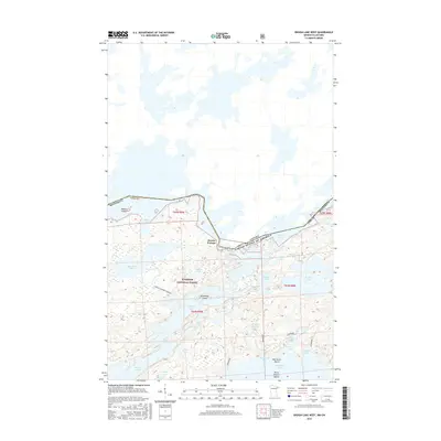
2016 Map of Ensign Lake West
USGS Topo · Published 2016About this map
Prairie Portage serves as a critical junction on this 2016 survey, marking the international boundary between Lake County, Minnesota, and the Rainy River District of Ontario. Located within the Superior National Forest, the map details a landscape defined by an intricate network of interconnected waterways. Large bodies of water like Ensign Lake and Newfound Lake are dotted with landmarks such as Horseshoe Island and Half Burnt Island, while smaller features like Skull Lake and Thermal Lake suggest the diverse aquatic environments of the Boundary Waters. The presence of the Found-Manomin Winter route underscores the importance of seasonal transport in this roadless wilderness. From the northern reaches of Birch Lake to the southern waters of Moose Lake, the map documents the unchanged character of this borderland, where travel remains dictated by portages and ancient water routes.
Find a feature on this map
37 named features on this map. Tap any name to fly to it.
Don’t see what you’re looking for? This feature index may not catch every label — zoom into the map to look around manually.
Map Details
Editions of this 2016 Ensign Lake West Map
This is the sole edition of this map. No revisions or reprints were ever made.
Other maps of this area
1954 · Two Harbors
USGS Topo · 1:250,000
1957 · Two Harbors
USGS Topo · 1:250,000
1957 · Gabbro Lake
USGS Topo · 1:62,500
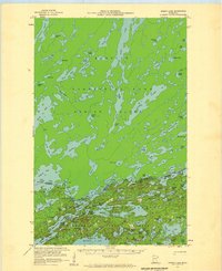
1957 · Ensign Lake
USGS Topo · 1:62,500
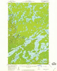
1957 · Basswood Lake
USGS Topo · 1:62,500
1957 · Quetico
USGS Topo · 1:250,000
1958 · Two Harbors
USGS Topo · 1:250,000
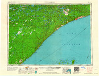
1964 · Two Harbors
USGS Topo · 1:250,000
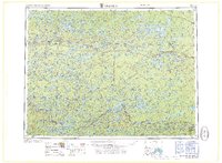
1968 · Quetico
USGS Topo · 1:250,000
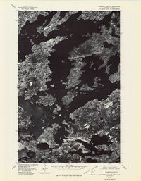
1976 · Basswood Lake SE
USGS Topo · 1:24,000