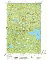
1960 Map of Perent Lake
USGS Topo · Published 1986About this map
The Boundary Waters Canoe Area Wilderness dominates this portion of the Superior National Forest, revealing a complex aquatic network of interconnected glacial lakes and drainage systems. Originally mapped in 1960 and updated with 1980s aerial data, the landscape is defined by its water-carved corridors like the Perent River and the Island River. Notable water bodies range from the expansive Perent Lake to humorously named features such as Snusbox Lake and Calamity Lake.
Find a feature on this map
36 named features on this map. Tap any name to fly to it.
Don’t see what you’re looking for? This feature index may not catch every label — zoom into the map to look around manually.
Map Details
Editions of this 1960 Perent Lake Map
3 editions found
Other maps of this area

1954 · Two Harbors
USGS Topo · 1:250,000

1955 · Isabella
USGS Topo · 1:62,500

1955 · Cramer
USGS Topo · 1:62,500

1957 · Two Harbors
USGS Topo · 1:250,000

1958 · Two Harbors
USGS Topo · 1:250,000

1960 · Lake Polly
USGS Topo · 1:24,000

1960 · Kawishiwi Lake
USGS Topo · 1:24,000

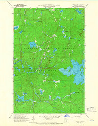
1960 · Perent Lake
USGS Topo · 1:24,000

1960 · Alice Lake
USGS Topo · 1:24,000

1964 · Two Harbors
USGS Topo · 1:250,000