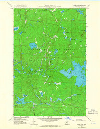
1960 Map of Perent Lake
USGS Topo · Published 1966About this map
Perent Lake and its surrounding wilderness dominate this mid-century survey of northeastern Minnesota. Located within the Superior National Forest and Minnesota State Forest, the landscape is defined by an intricate network of glacial lakes and watercourses. The Perent River flows westward from the primary lake, while the Island River and Fool Hen Creek drain the southern reaches of the quadrangle. Significant water bodies including Kawishiwi Lake, Ferne Lake, and Tomahawk Lake are interspersed among the dense woodland. This era of mapping shows the region prior to further recreational development, capturing the primitive state of the Crystal Bay township area. The absence of roads and the abundance of named features like Snusbox Lake, Whittler Lake, and Chickadee Lake reflect a landscape primarily navigated by water and trail.
Find a feature on this map
34 named features on this map. Tap any name to fly to it.
Don’t see what you’re looking for? This feature index may not catch every label — zoom into the map to look around manually.
Map Details
Editions of this 1960 Perent Lake Map
3 editions found
Other maps of this area

1954 · Two Harbors
USGS Topo · 1:250,000

1955 · Isabella
USGS Topo · 1:62,500

1955 · Cramer
USGS Topo · 1:62,500

1957 · Two Harbors
USGS Topo · 1:250,000

1958 · Two Harbors
USGS Topo · 1:250,000

1960 · Lake Polly
USGS Topo · 1:24,000

1960 · Kawishiwi Lake
USGS Topo · 1:24,000

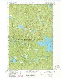
1960 · Perent Lake
USGS Topo · 1:24,000

1960 · Alice Lake
USGS Topo · 1:24,000

1964 · Two Harbors
USGS Topo · 1:250,000