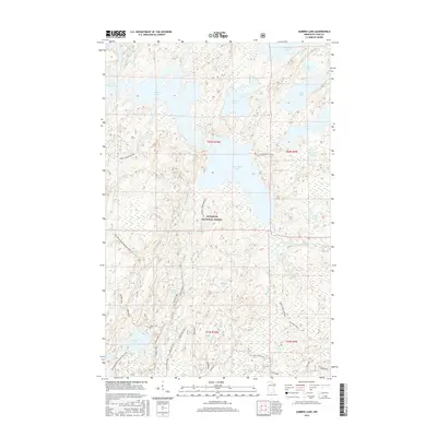
2016 Map of Gabbro Lake
USGS Topo · Published 2016About this map
Superior National Forest dominates this northern landscape, where an intricate network of waterways and winter-specific trails defines the seasonal movement through the woods. This area of Lake County is characterized by large interconnected bodies of water such as Gabbro Lake and Bald Eagle Lake, linked by the Isabella River. The presence of several dedicated winter corridors, including the Old Man Winter Dogsled Trail, Snake Creek Winter, and August Creek Winter routes, highlights the specialized transit required for this terrain during the colder months. Numerous smaller ponds and lakes like Gesend Pond, Bubbles Lake, and Omaday Lake are scattered across the timberland, while logging and forest management access is indicated by various spurs off the Tomahawk and Sand River roads.
Find a feature on this map
44 named features on this map. Tap any name to fly to it.
Don’t see what you’re looking for? This feature index may not catch every label — zoom into the map to look around manually.
Map Details
Editions of this 2016 Gabbro Lake Map
This is the sole edition of this map. No revisions or reprints were ever made.
Other maps of this area

1954 · Greenwood Lake
USGS Topo · 1:62,500

1954 · Two Harbors
USGS Topo · 1:250,000

1955 · Isabella
USGS Topo · 1:62,500

1957 · Two Harbors
USGS Topo · 1:250,000

1957 · Gabbro Lake
USGS Topo · 1:62,500

1958 · Two Harbors
USGS Topo · 1:250,000

1964 · Two Harbors
USGS Topo · 1:250,000
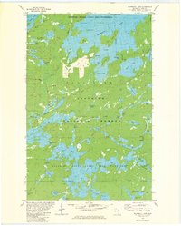
1981 · Snowbank Lake
USGS Topo · 1:24,000
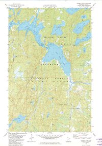
1981 · Gabbro Lake
USGS Topo · 1:24,000
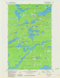
1981 · Ojibway Lake
USGS Topo · 1:24,000