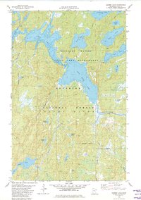
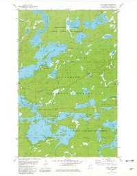
1981 Map of Gabbro Lake
USGS Topo · Published 1982About this map
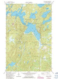
Gabbro Lake and Bald Eagle Lake dominate this landscape within the Superior National Forest during the early 1980s. This survey, compiled from 1977 aerial photography, highlights a primitive and water-dependent transportation network defined by numerous portage routes connecting isolated basins like Pietro Lake and Turtle Lake. The presence of Dam No 1 at the outlet of Little Gabbro L indicates a managed waterway system, while the surrounding Boundary Waters Canoe Area Wilderness preserves a roadless character. The hydrography, verified by the Minnesota Department of Natural Resources, reveals a intricate drainage pattern through the Stony River region, where smaller water bodies such as Norway Lake and August Lake are linked by seasonal streams like Nickel Creek and Cobalt Creek. This map captures the wilderness state of Lake County prior to modern digital mapping, preserving the specific placement of landmarks like the Gate near Carney Lake.
Find a feature on this map
35 named features on this map. Tap any name to fly to it.
Don’t see what you’re looking for? This feature index may not catch every label — zoom into the map to look around manually.
Map Details
Editions of this 1981 Gabbro Lake Map
2 editions found
Other maps of this area

1954 · Greenwood Lake
USGS Topo · 1:62,500

1954 · Two Harbors
USGS Topo · 1:250,000

1955 · Isabella
USGS Topo · 1:62,500

1957 · Two Harbors
USGS Topo · 1:250,000

1957 · Gabbro Lake
USGS Topo · 1:62,500

1958 · Two Harbors
USGS Topo · 1:250,000

1964 · Two Harbors
USGS Topo · 1:250,000
1981 · Snowbank Lake
USGS Topo · 1:24,000
1981 · Ojibway Lake
USGS Topo · 1:24,000
1981 · Farm Lake
USGS Topo · 1:24,000